
Information
Park Phones are Down
The park's phones are currently not working to call in. If you have questions, please email us at [email protected]. If it is an emergency dial 911.
Posted or updated Oct 25, 2026 ·Park conditions on nps.gov
National Monument
John Day Fossil Beds National Monument is a National Monument in Oregon. The NPS currently lists 2 active alerts, 0 campgrounds and 2 visitor centers, and no entrance fee.
Oregon National Monument No entrance fee
Updated · NPS Data API
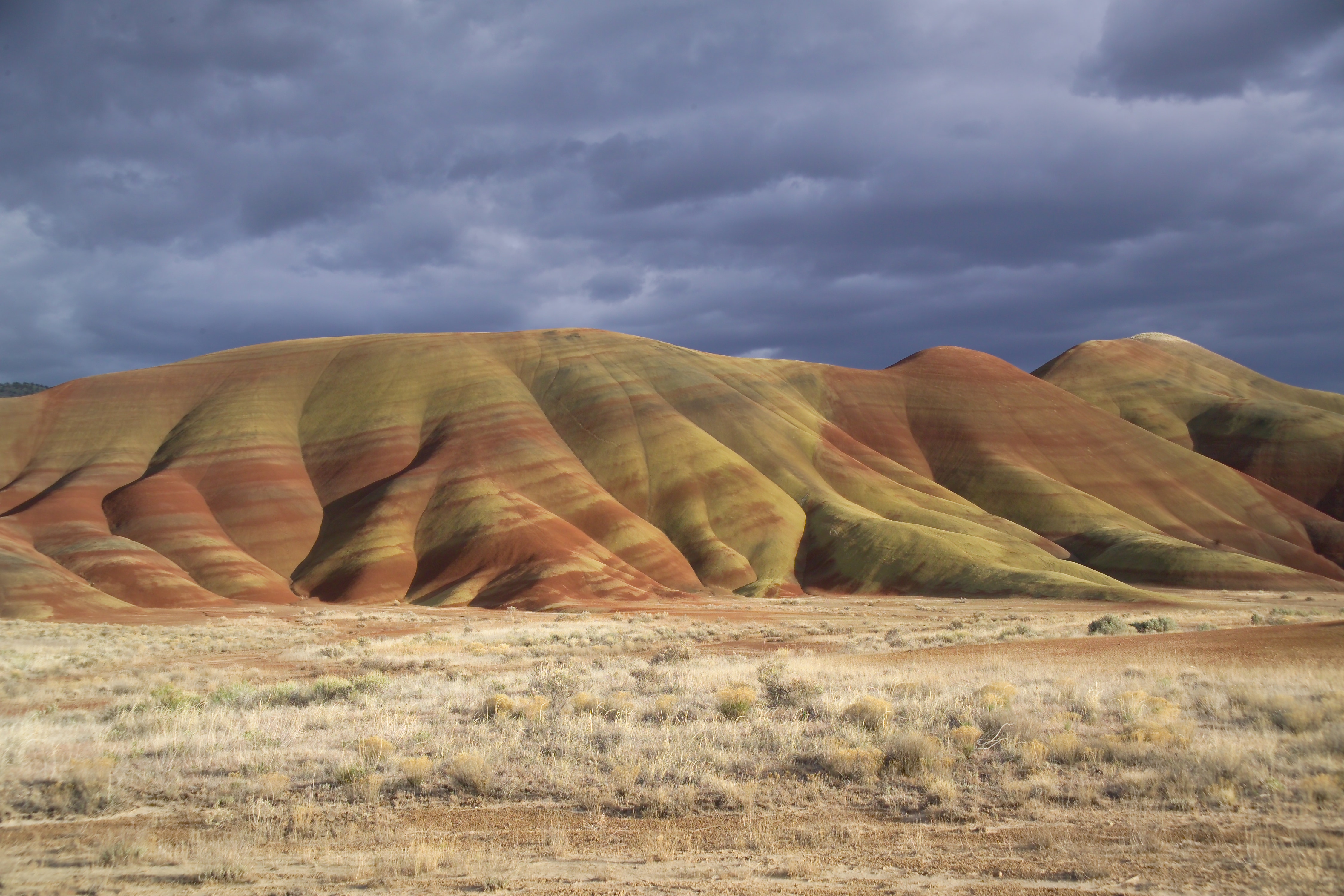
“Large rhino-like brontotheres roam a semitropical forest. Dog-sized, three-toed horses dart between the trees. The cat-like nimravid and bear dogs stalk their prey. The climate cools and forests alter to dryer grasslands. Saber tooth cats and camels get replaced by mountain lions and deer.”
Active alerts
2
Closures
0
Campgrounds
0
Visitor centers
2
2 active NPS alerts as of Oct 28, 2026: 0 closures, 0 danger, 0 caution and 2 information.
Information
The park's phones are currently not working to call in. If you have questions, please email us at [email protected]. If it is an emergency dial 911.
Posted or updated Oct 25, 2026 ·Park conditions on nps.gov
Information
There is currently no water available at the Clarno Unit of the park. Please plan accordingly and bring water when visiting.
Posted or updated Aug 21, 2026 ·Park conditions on nps.gov
This site has no entrance fee, according to NPS fee data.
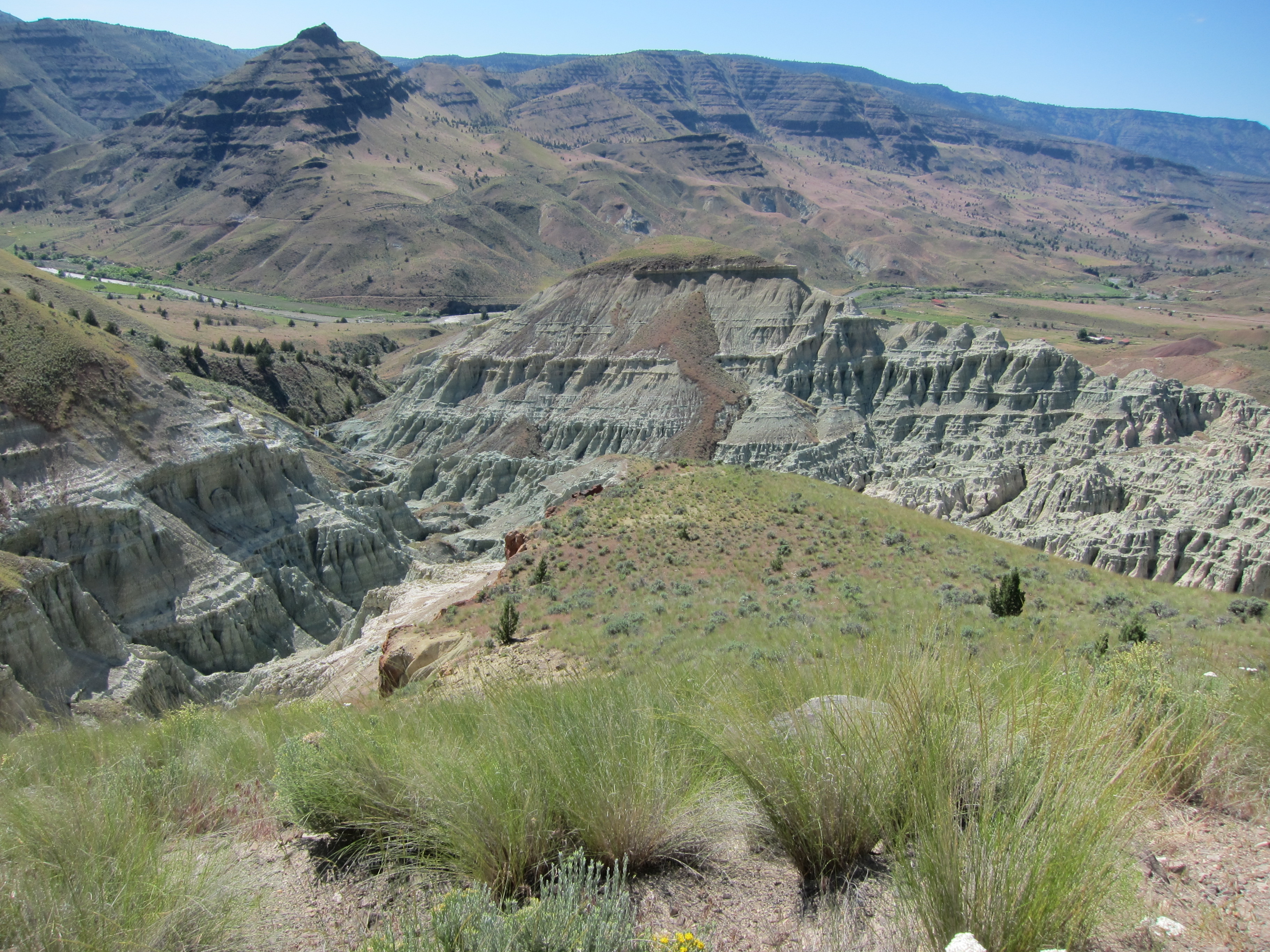
The Blue Basin Overlook Trail is a 3.25 mi (5.2 km) trail that climbs 760 ft (230 m) in elevation to an overlook of Blue Basin. This trail provides breathtaking views down into steep canyons and grand vistas of the John Day River valley.
1-3 Hours Year-round Pets allowed
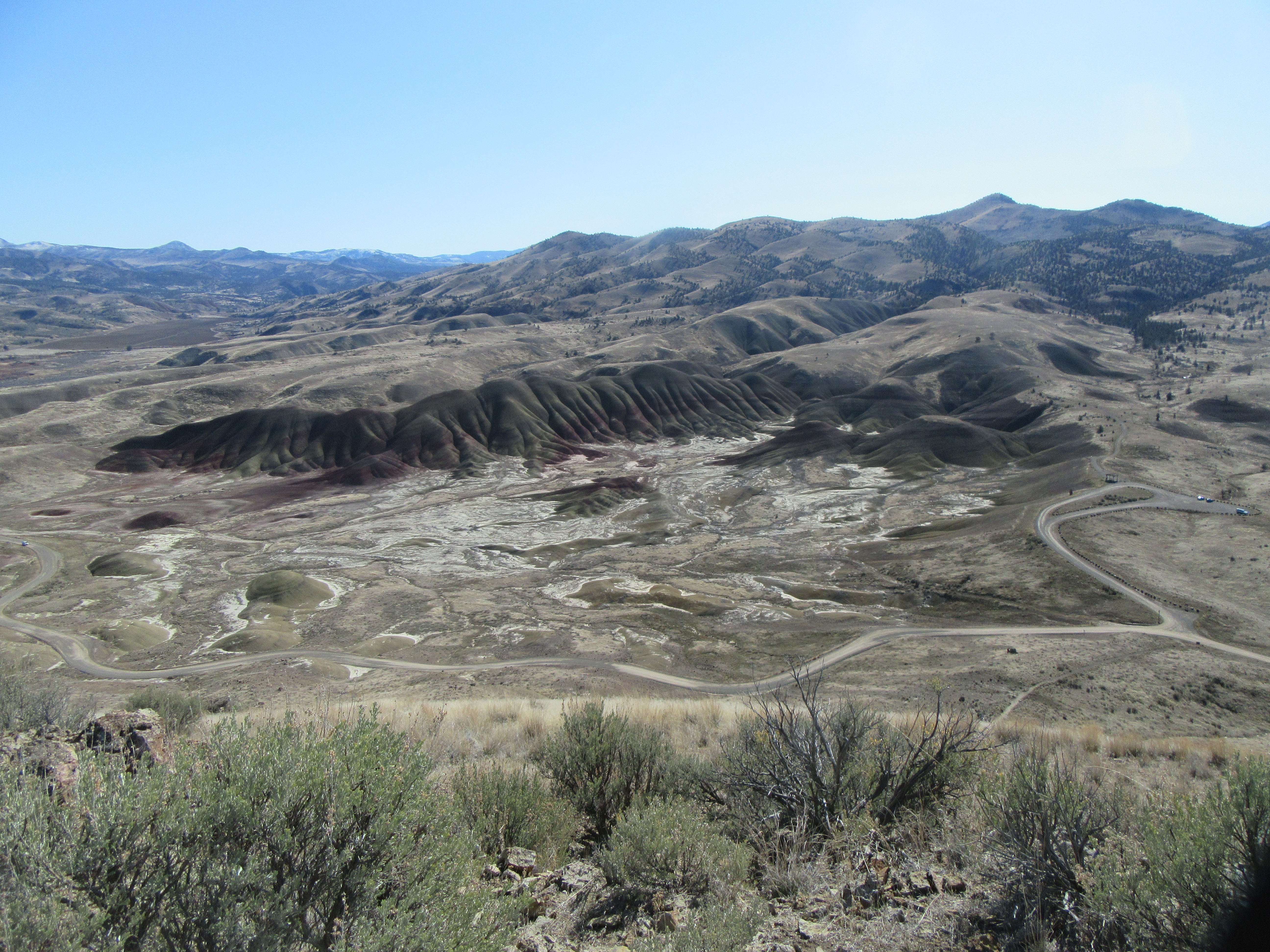
The Carroll Rim Trail is 1.6 miles (2.6 km) roundtrip. The trail climbs over 400 ft (120 m) of elevation to a panorama view of the Painted Hills.
30-60 Minutes Year-round Pets allowed
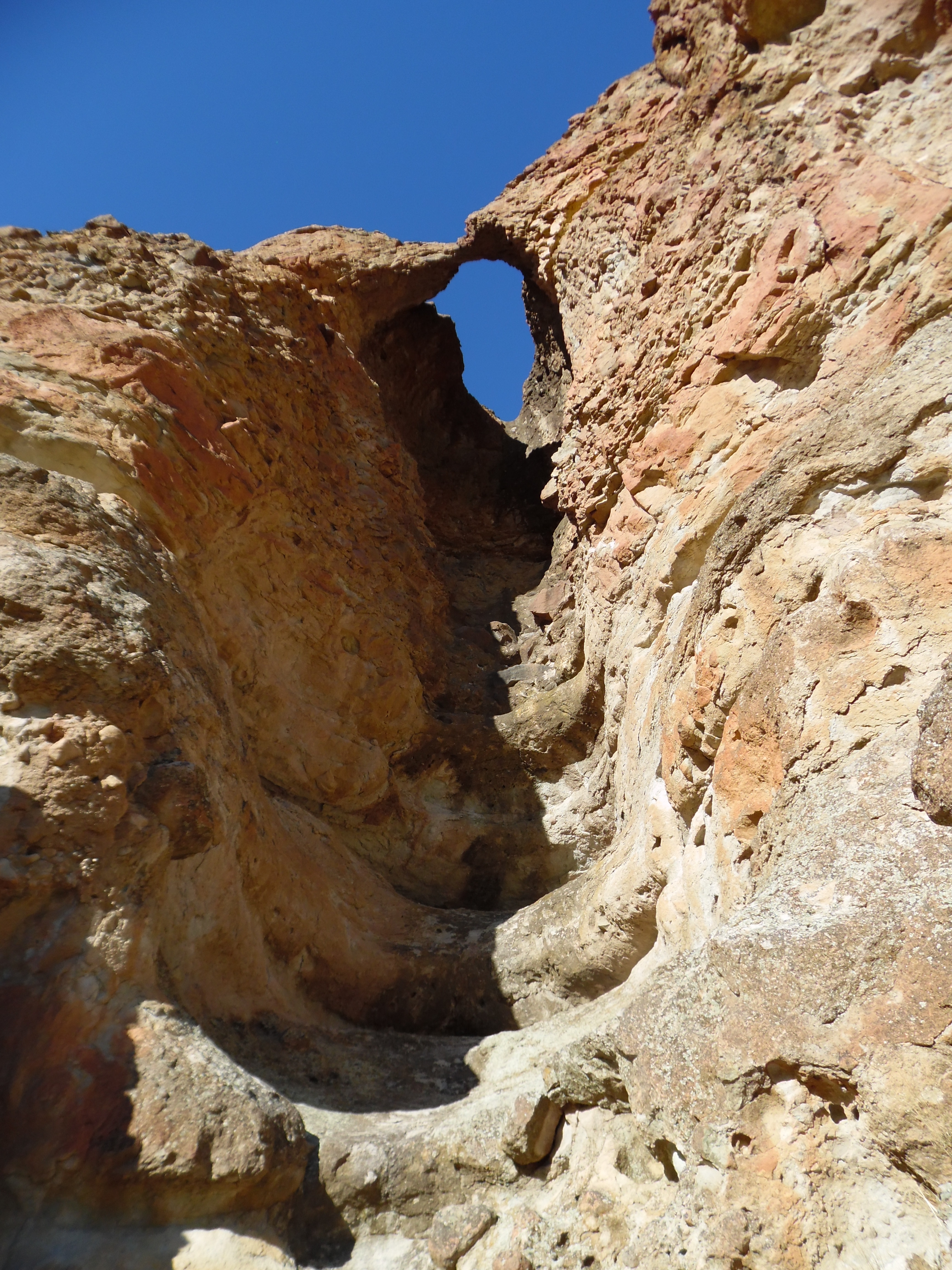
This 0.5 mi (0.8 km) trail climbs almost 200 ft (60 m) in height to the base of the Palisades to a view of an arch above. No collecting is permitted.
15-45 Minutes Year-round Pets allowed
See all 19 things to do in John Day Fossil Beds →
Activities the NPS lists for John Day Fossil Beds.
HikingFront-Country HikingJunior Ranger ProgramPark FilmMuseum ExhibitsBookstore and Park Store
Advertisement
All outdoor recreation opportunities in the park are open daily, including all overlooks and hiking trails at the park’s three units: Sheep Rock, Painted Hills, and Clarno.
| Day | Hours |
|---|---|
| Monday | All Day |
| Tuesday | All Day |
| Wednesday | All Day |
| Thursday | All Day |
| Friday | All Day |
| Saturday | All Day |
| Sunday | All Day |
Weather: Weather conditions at John Day Fossil Beds National Monument are highly variable in this semi-arid desert landscape. Summer highs can climb into the 110's.
| Visitor center | Standard hours | Phone | Passport stamp |
|---|---|---|---|
| Historic Cant Ranch Museum | Daily: Closed | — | Yes |
| Thomas Condon Visitor Center | Mon 10:00AM - 4:00PM · Tue Closed · Wed Closed · Thu 10:00AM - 4:00PM · Fri 10:00AM - 4:00PM · Sat 10:00AM - 4:00PM · Sun 10:00AM - 4:00PM | (541) 987-2333 | Yes |
No NPS campgrounds are listed for this site. Nearby national forests or state parks may offer camping.
On Amazon
As an Amazon Associate I earn from qualifying purchases.
California National Historic TrailCrater Lake National ParkFort Vancouver National Historic SiteIce Age Floods National Geologic TrailLewis & Clark National Historic TrailLewis and Clark National Historical ParkNez Perce National Historical ParkOregon Caves National Monument & PreserveOregon National Historic TrailAll in Oregon
Advertisement