The National Park Service lists 18 things to do at Upper Delaware Scenic & Recreational River. 18 have no extra fee, 17 need no reservation, and 18 allow pets. Each listing links to the full NPS page. Data is from the NPS snapshot of Oct 28, 2026.
Become a Junior Ranger at Upper Delaware Scenic and Recreational River. The Junior Ranger program is a great way for individuals of all ages to learn about the river, its natural resources, and the history of the Upper Delaware River Valley.
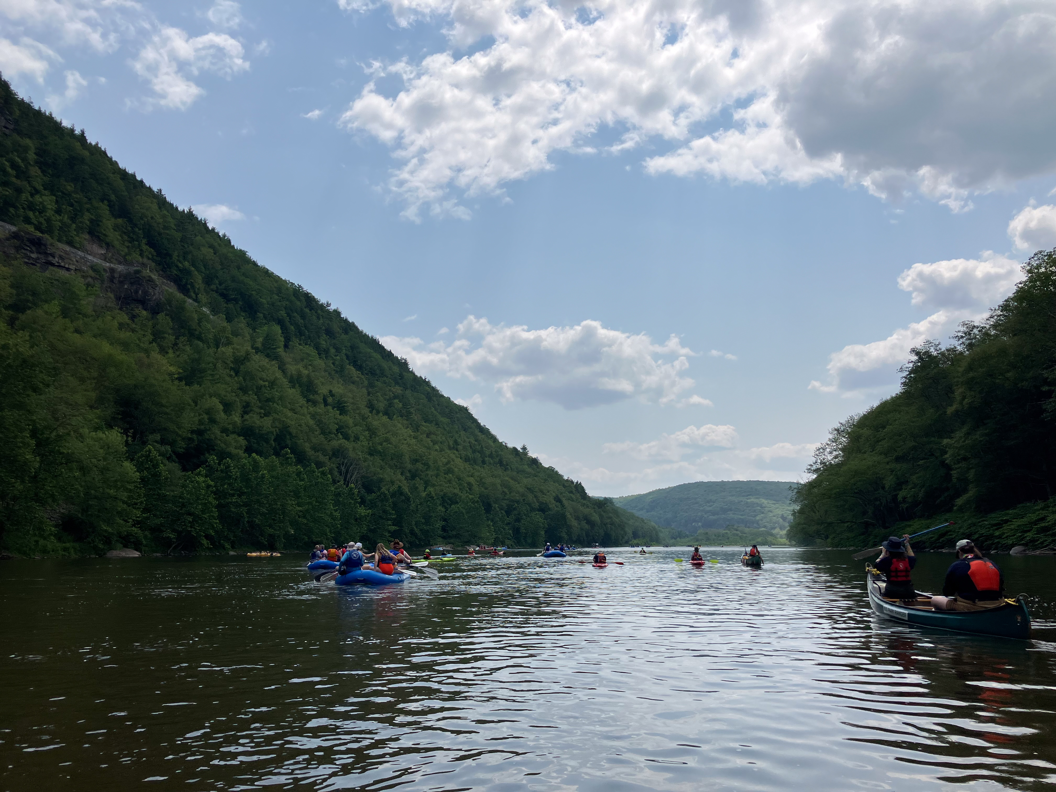
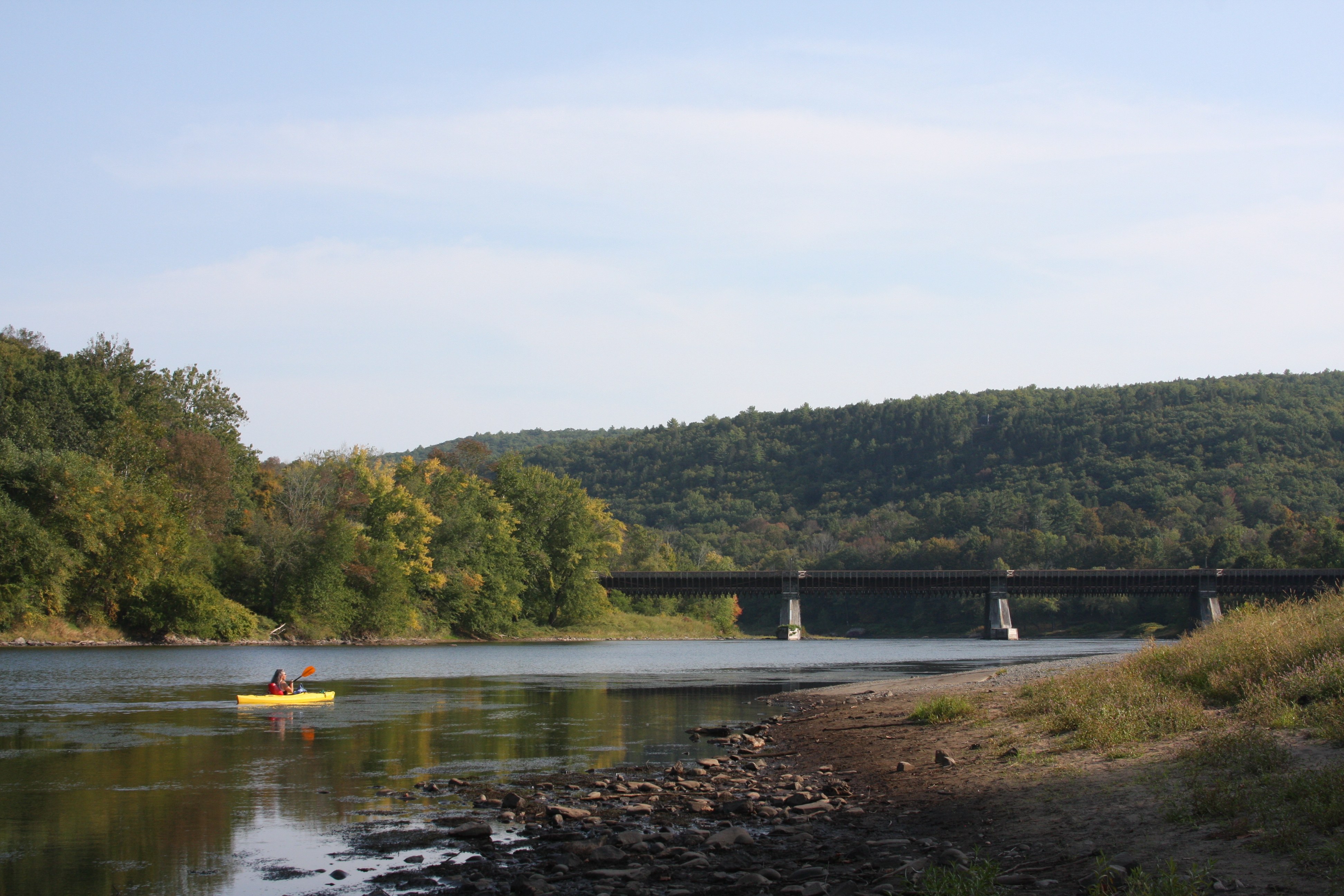
Paddle this calm stretch of river from Buckingham River Access to Long Eddy River Access. This stretch is approximately 9.5 river miles and takes on average 4.5 hours to paddle.
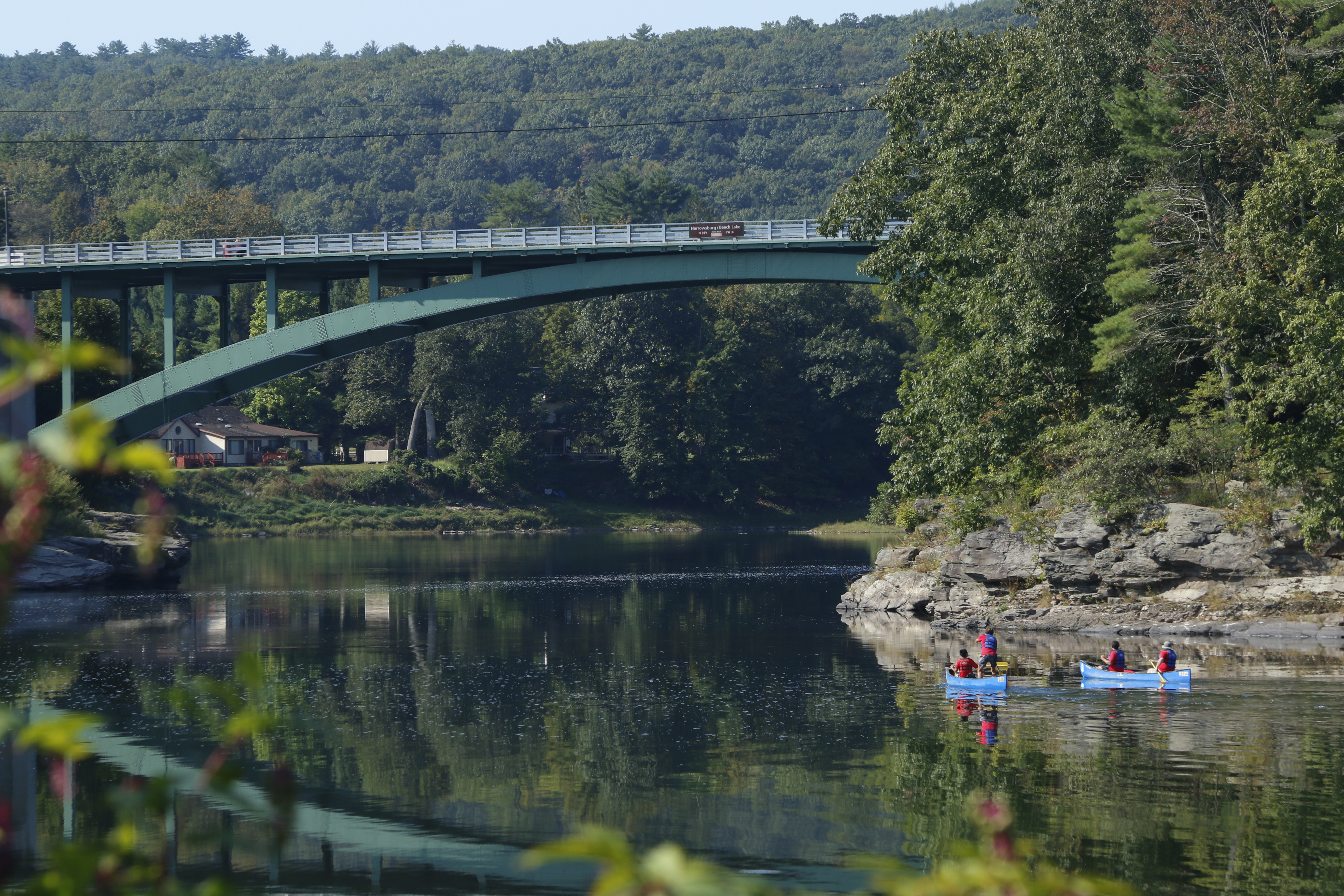
Paddle this calm stretch of river from Narrowsburg River Access to Ten Mile River Access. This stretch is approximately 6 river miles and takes on average 3 hours to paddle.
Paddle this longer stretch of river with a mix of calm waters, rapids, and rifts from Lackawaxen River Access to the New York DEC river access at Sparrowbush, NY. This stretch is approximately 20 river miles and takes on average 8-10 hours to paddle.
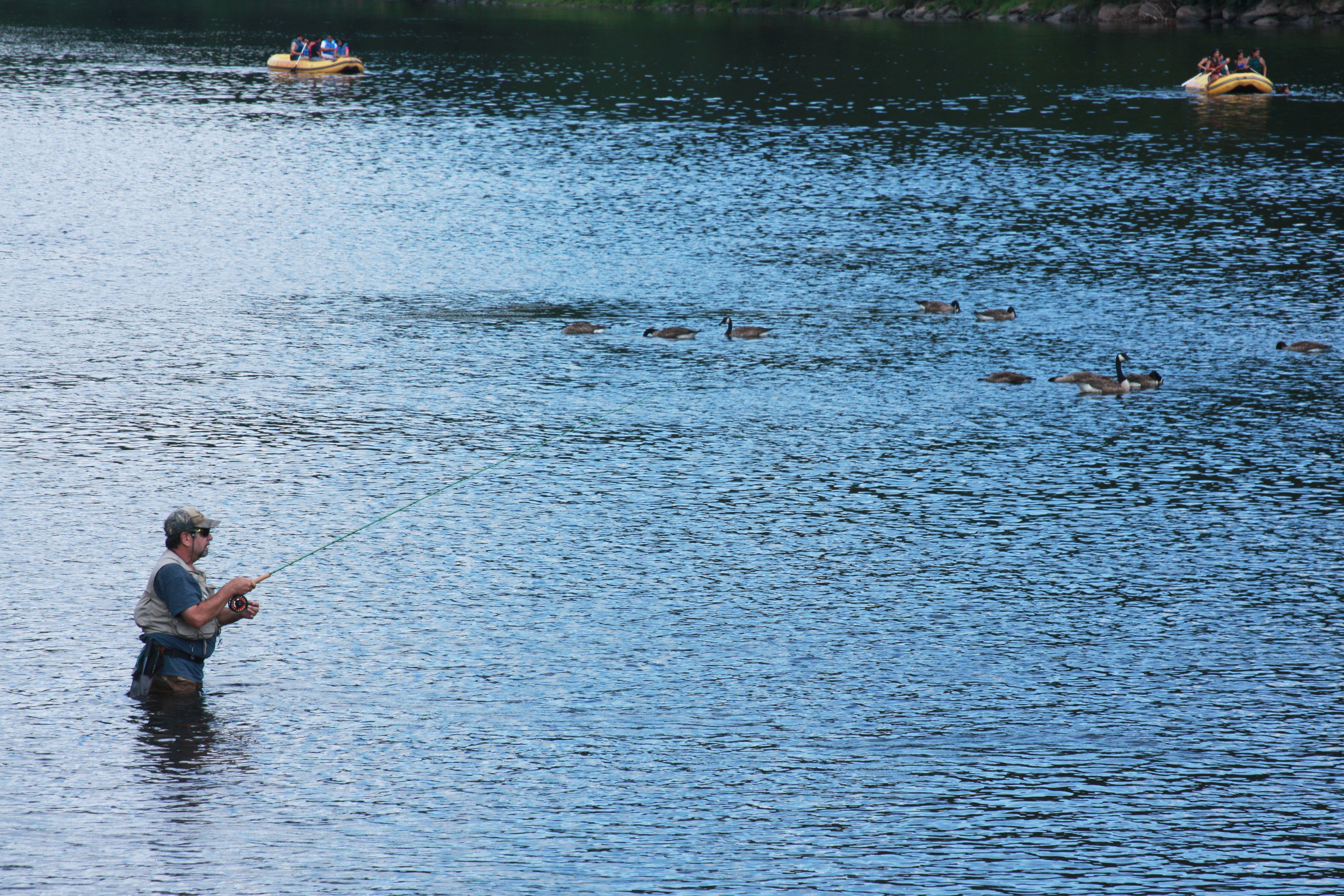
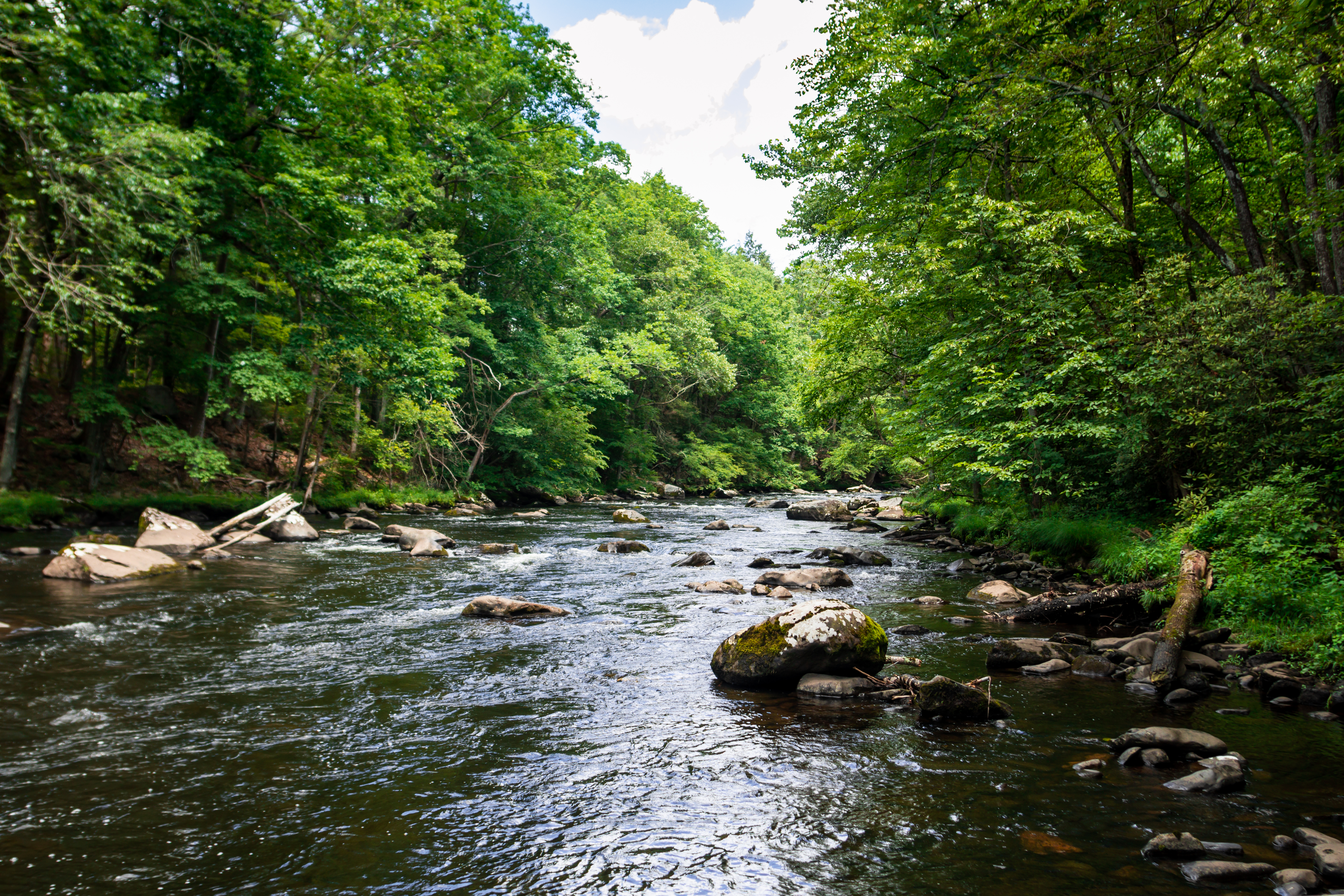
The pristine and undammed waters of the Upper Delaware River provide excellent habitat for a diverse variety of fish species such as trout, bass, walleye, and shad.
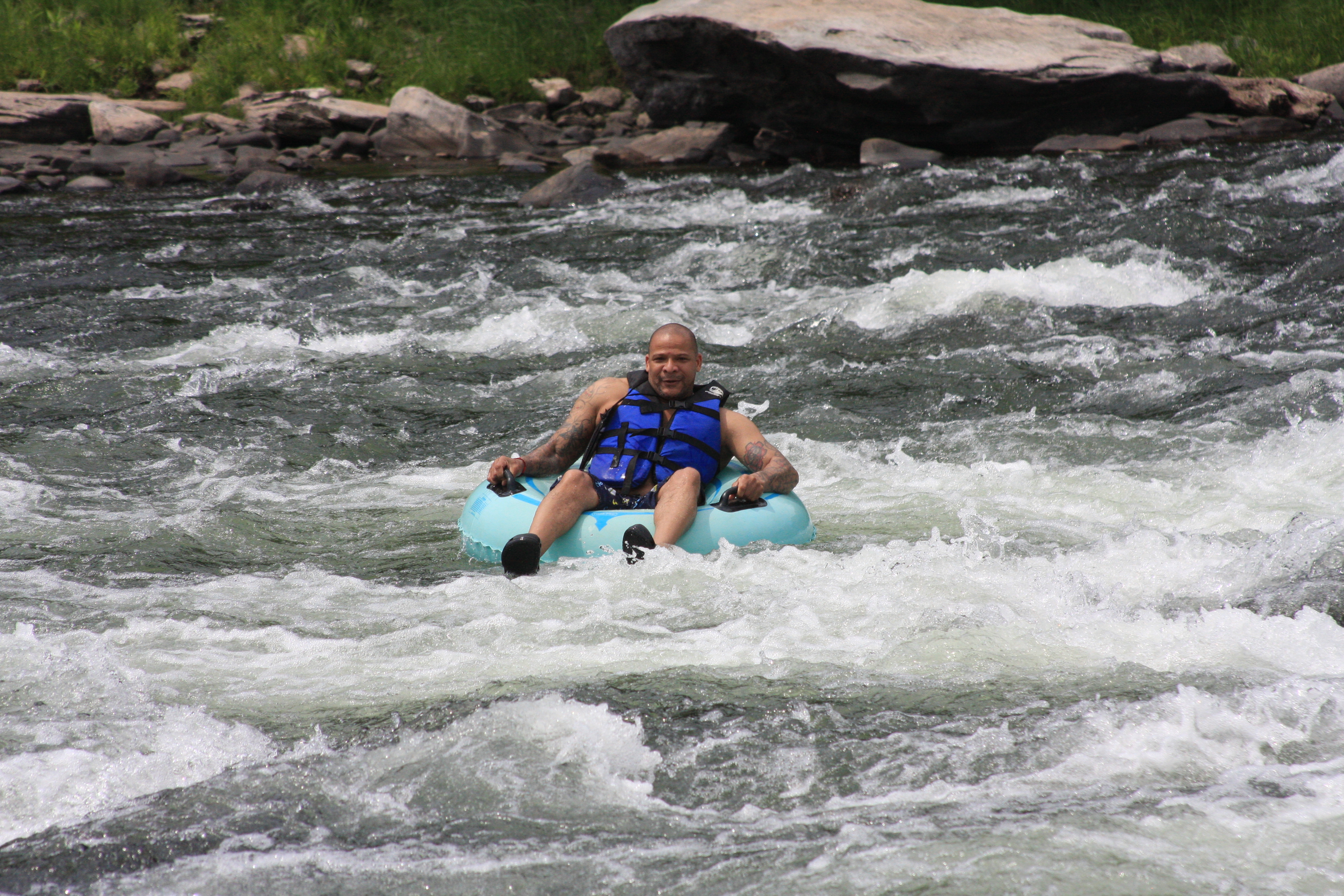
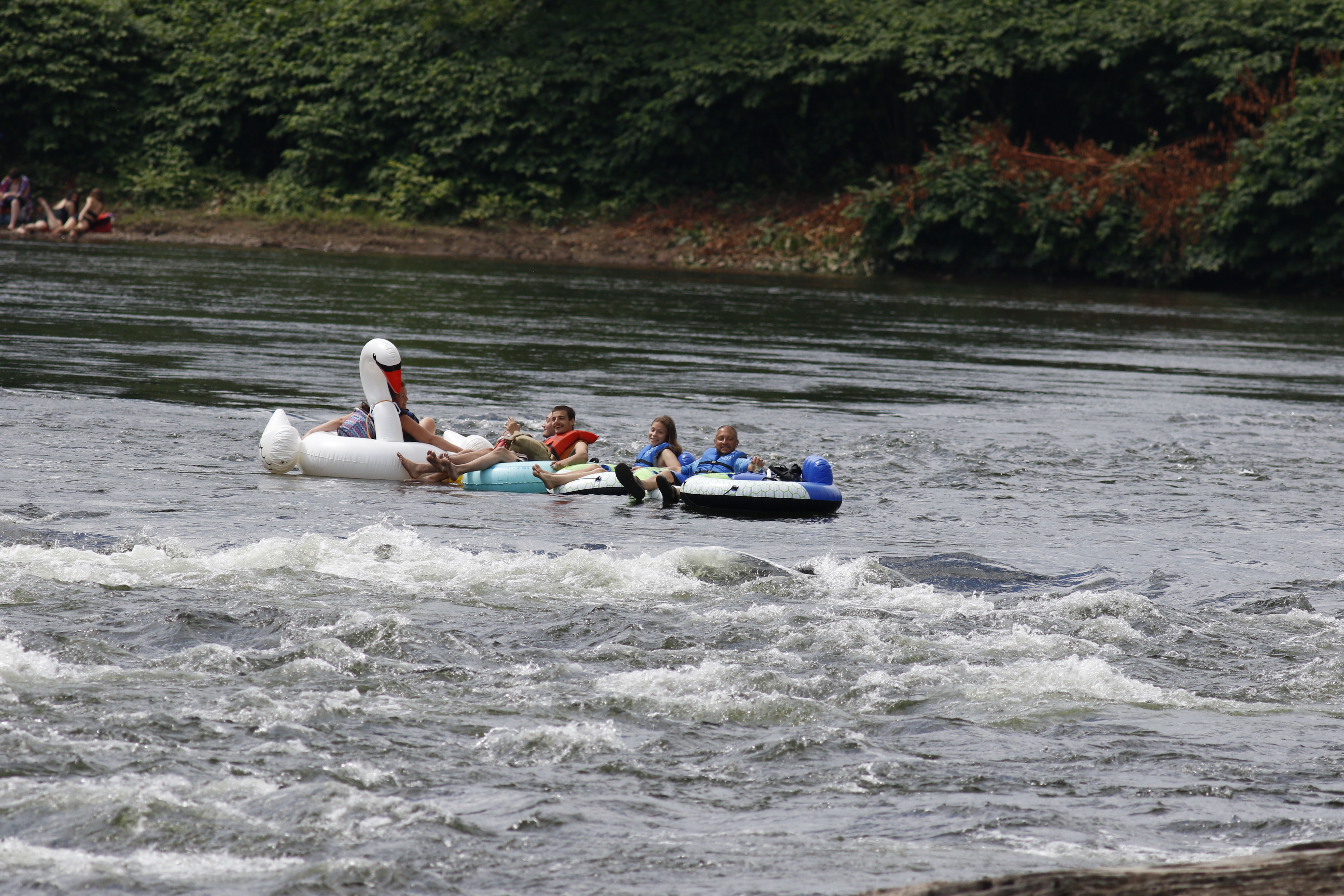
Float this short stretch of river from Damascus River Access to Skinners Falls River Access. This stretch is approximately 3 river miles and takes on average 1.5 hours to float.
Float this short stretch of river from Lackawaxen River Access to Highland River Access. This stretch is approximately 3 river miles and takes on average 1.5 hours to float.
Float this short stretch of river from Mongaup River Access to the New York DEC river access at Sparrowbush, NY. This stretch is approximately 3 river miles and takes on average 1.5 hours to float.
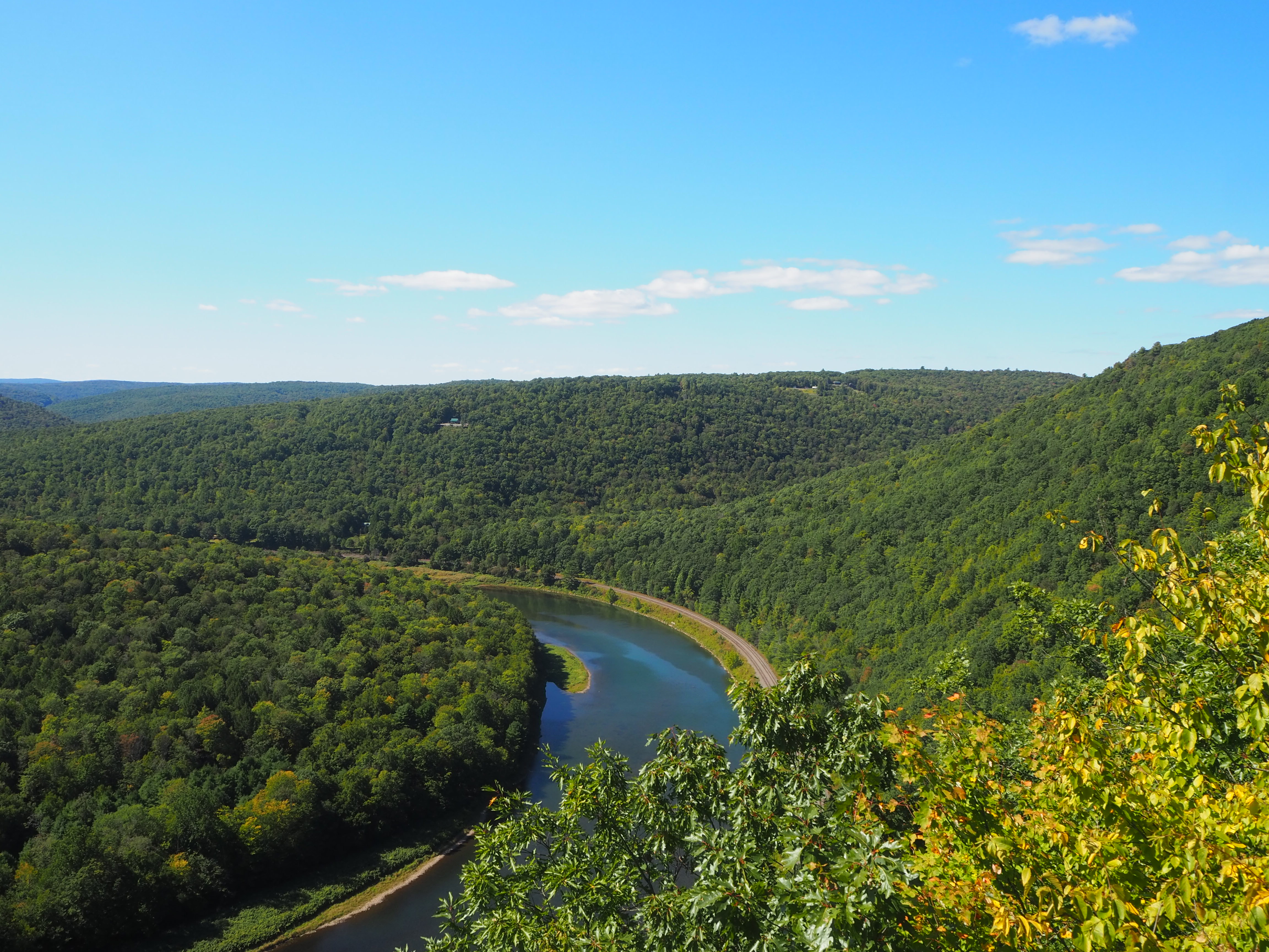
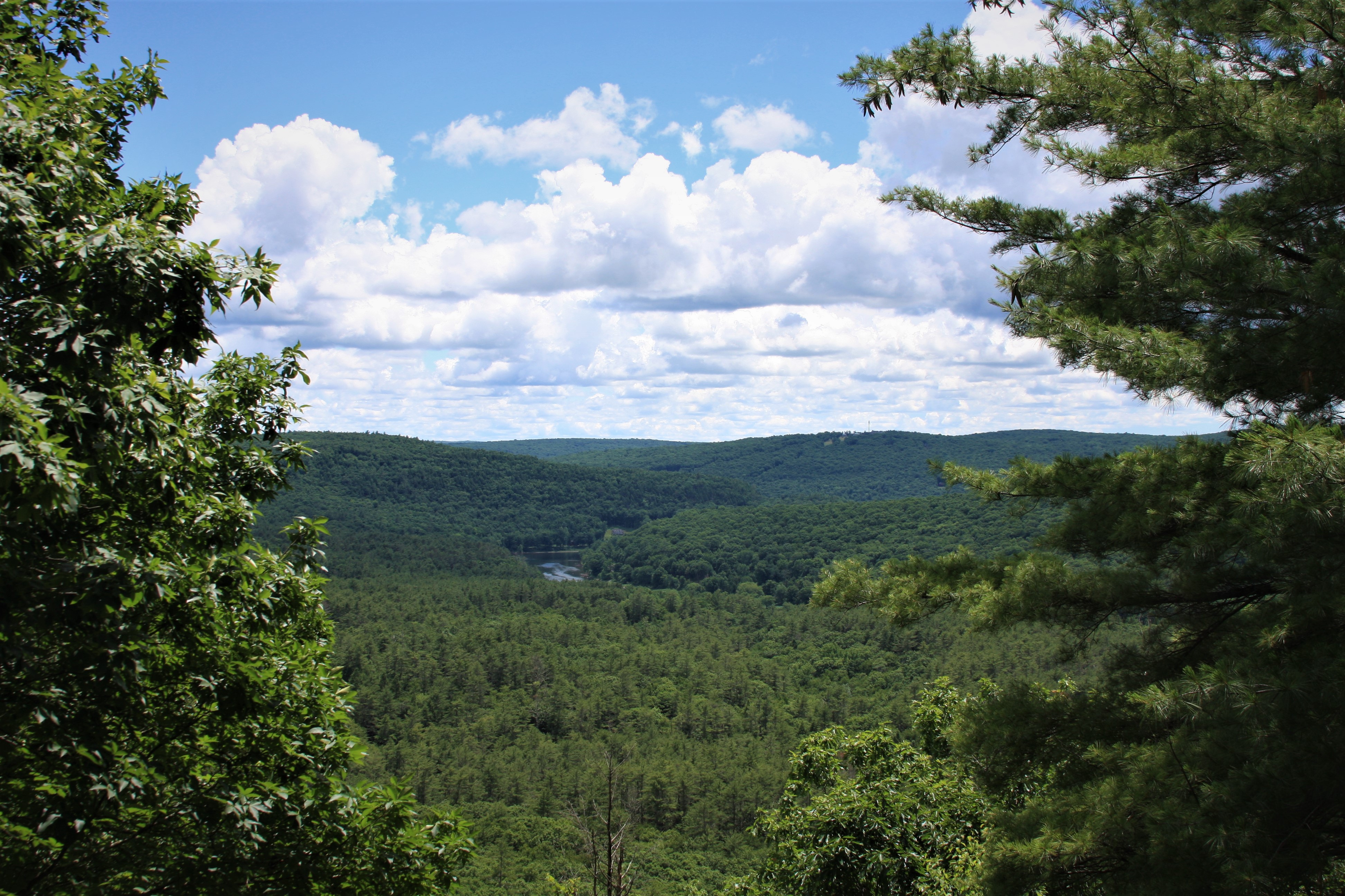
A difficult uphill hike leads to a dazzling waterfall and an amazing panoramic view of the Upper Delaware River Valley at the summit of Jensen's Ledges. Along the way, bluestone piles hint at the history of bluestone quarrying.
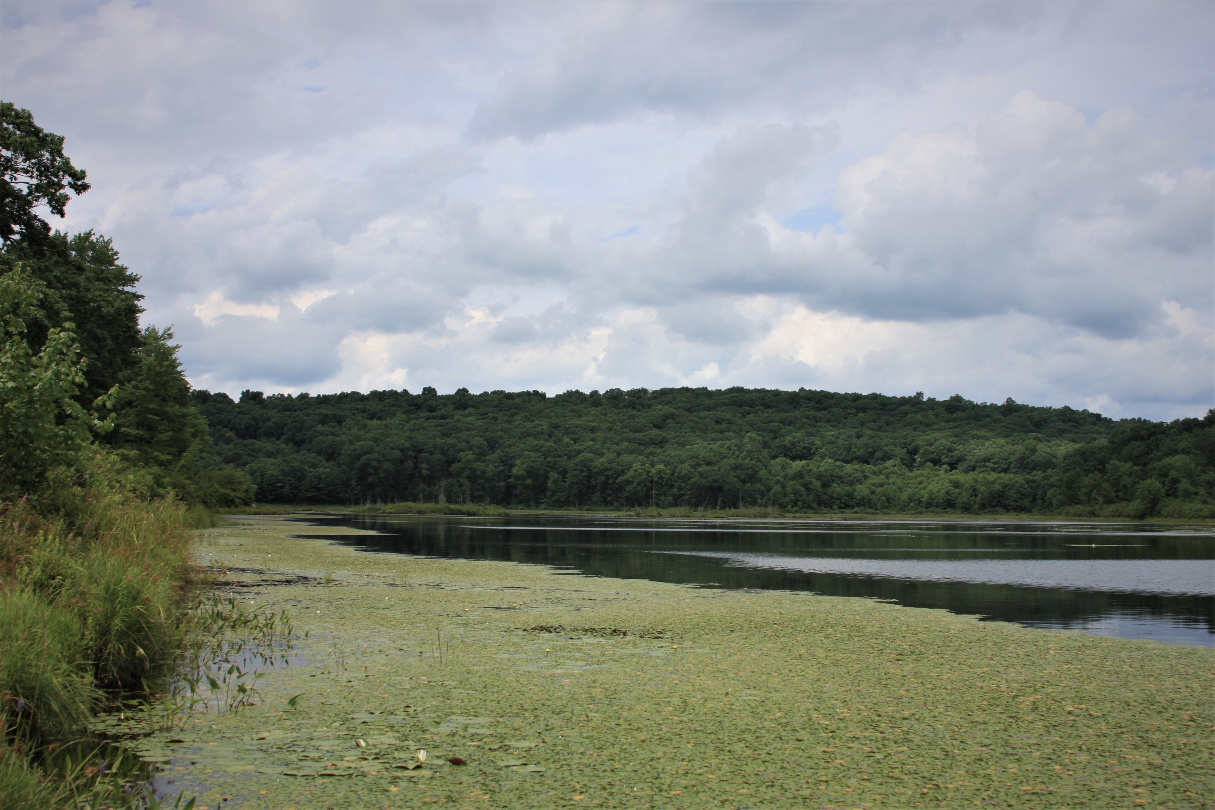
This loop trail offers a leisurely stroll around the picturesque Cobey Pond after a moderate incline through the forest from the trailhead to the pond. The trail offers hikers ample opportunities for view wildlife and waterfowl.
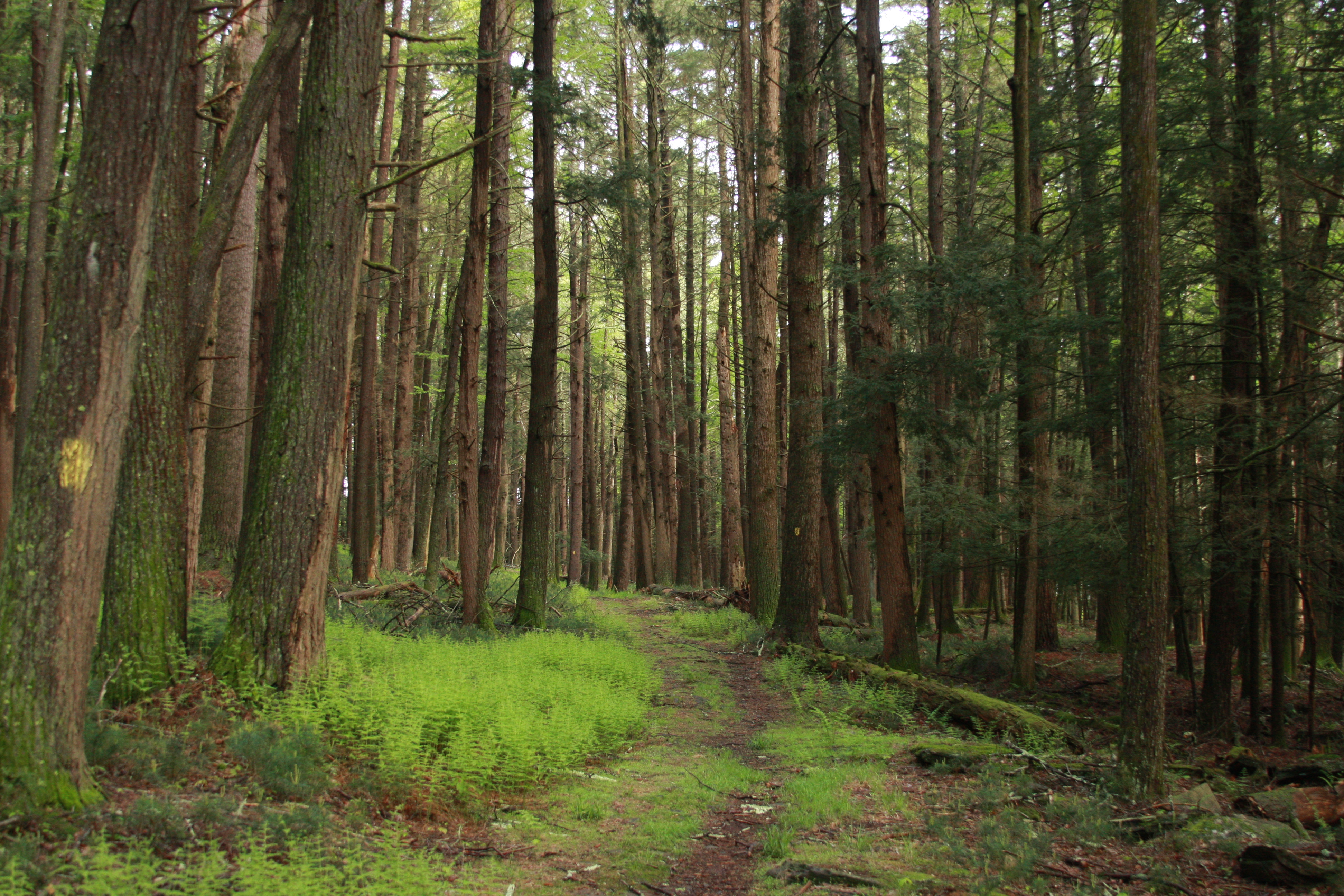
Enjoy the varied landscape of wetlands, uplands, and old growth forests on this easy loop trail. A large stand of old growth hemlock trees reminds us of the virgin forests that once stood here.
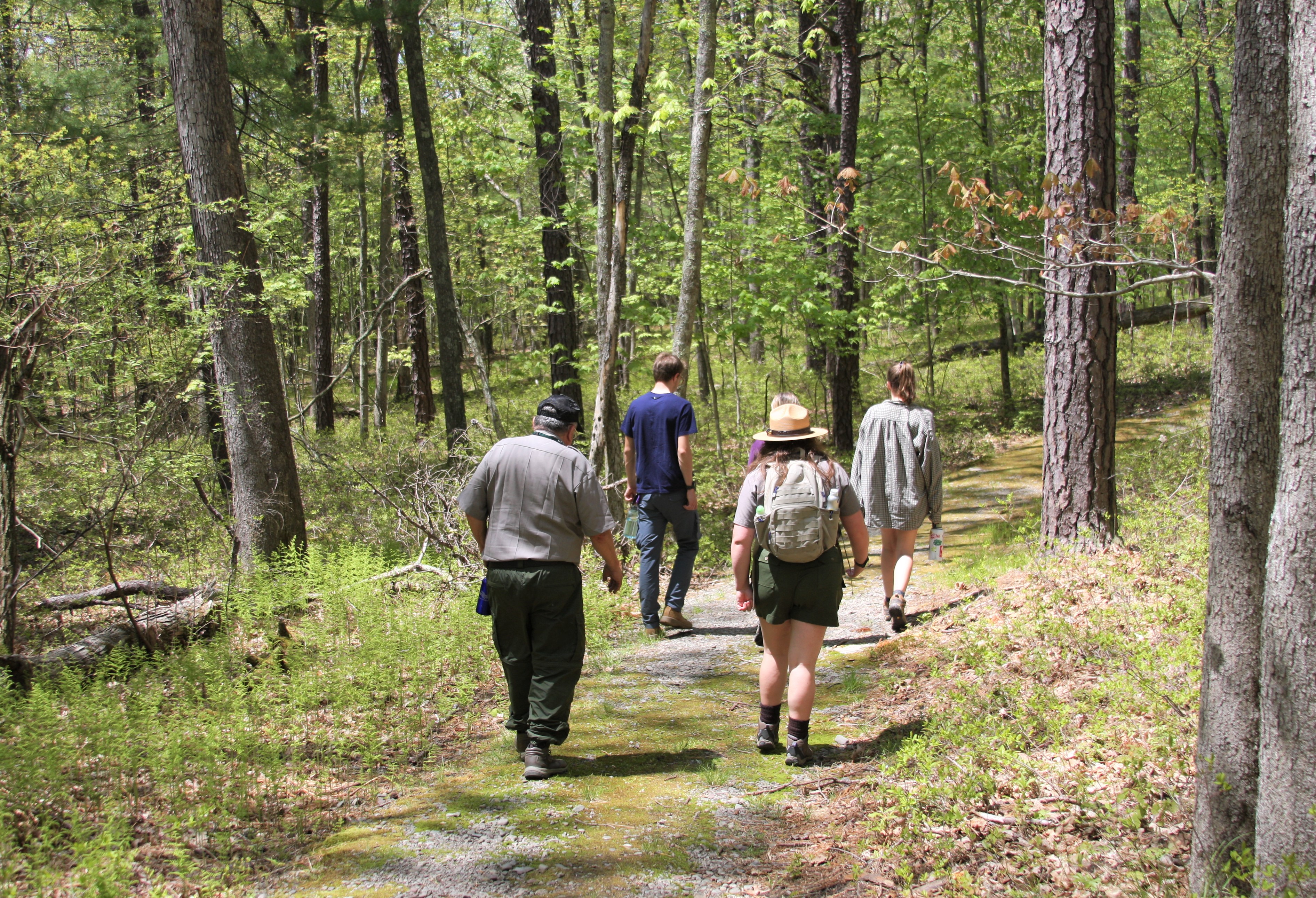
Walk this moderately easy, moss-covered loop trail system to catch glimpses of both nature and history. Minisink Battleground Park is the site of the only Revolutionary War battle fought in the Upper Delaware River Valley.
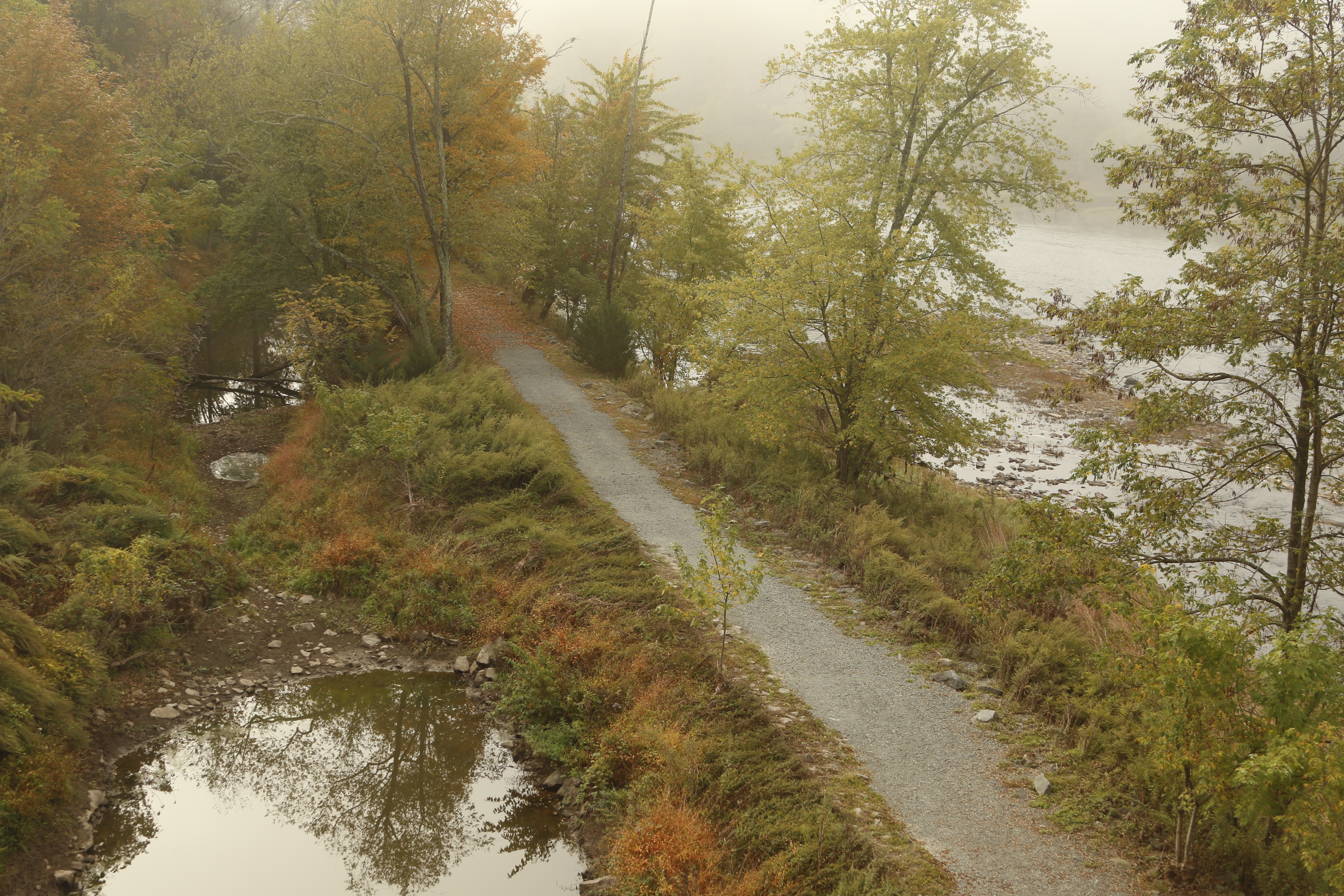
This linear 2-mile (3.2km) trail along the Mongaup River provides a moderate hike with abundant opportunities to view eagles, waterfowl, and wildflowers while listening to the soothing rushing water of the nearby stream.
This moderately difficult three-mile trail takes you on a loop through historic remains of the Tusten Settlement as you climb to the summit for a magnificent view of the Upper Delaware Valley.
Paddle this stretch of river with a mix of calm waters and rapids from Ten Mile River Access to Lackawaxen River Access. This stretch is approximately 6.5 river miles and takes on average 2.5 hours to paddle.
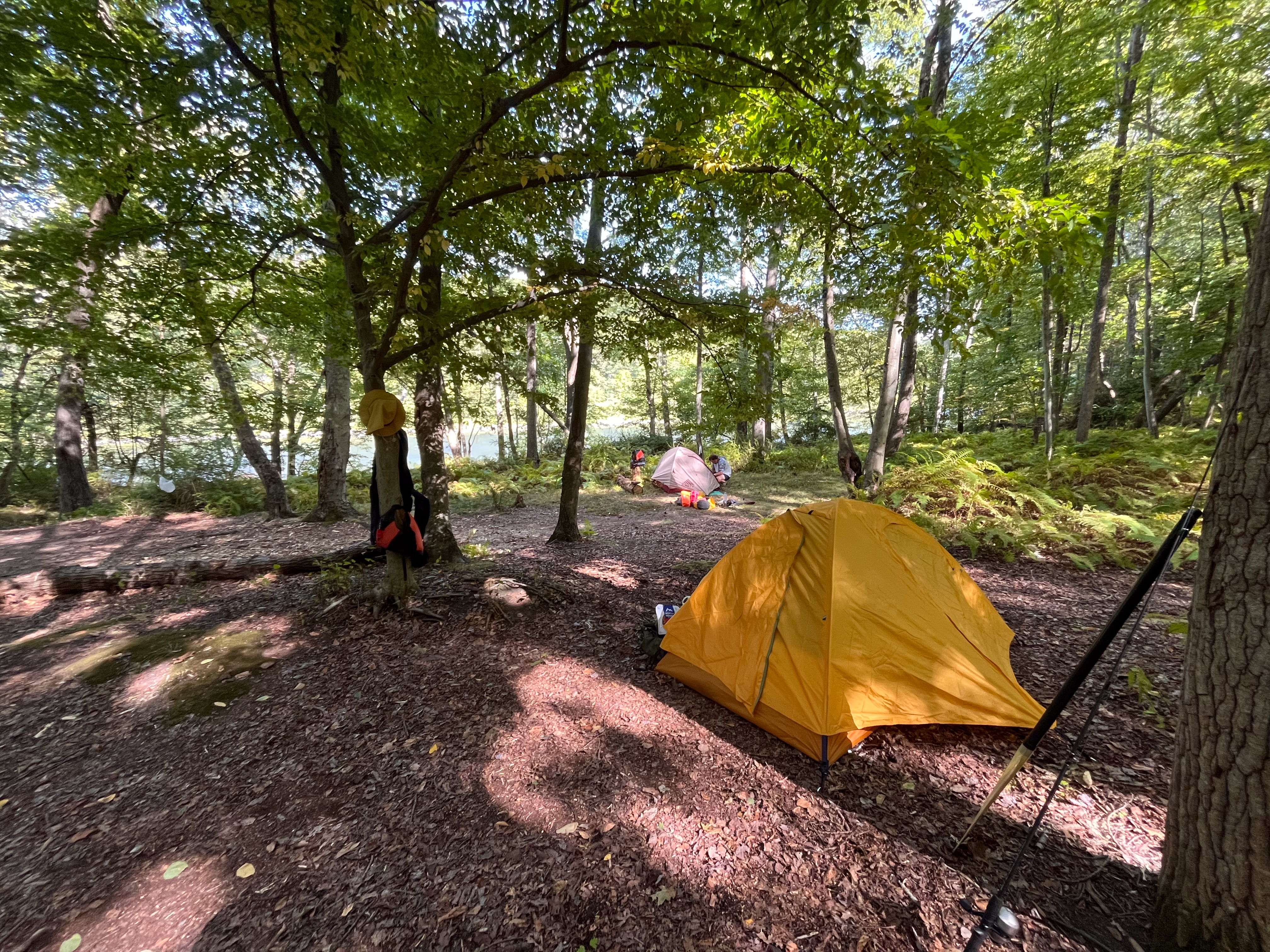
Camp right on the Delaware River at Buckhorn Natural Area. This is a free primitive camping area, although a permit is required. There are no facilities at this campsite and this campsite can only be reached by boat.
Although many eagles call the Upper Delaware River region home during all months of the year, winter is a particularly good time to go bald eagle-watching in the park. Wintering bald eagles visit, increasing the population of eagles in the area.
Check current alerts and closures, entrance fees and operating hours for Upper Delaware. Programs and tours can change with the season or be cancelled on short notice — confirm on the NPS page before you plan around one.
National Park Service Data API — things to do, snapshot of Oct 28, 2026. Descriptions are short excerpts; photos are NPS photos shown from nps.gov with their credit.