The National Park Service lists 53 things to do at Point Reyes National Seashore. 50 have no extra fee, 48 need no reservation, and 8 allow pets. Each listing links to the full NPS page. Data is from the NPS snapshot of Oct 28, 2026.
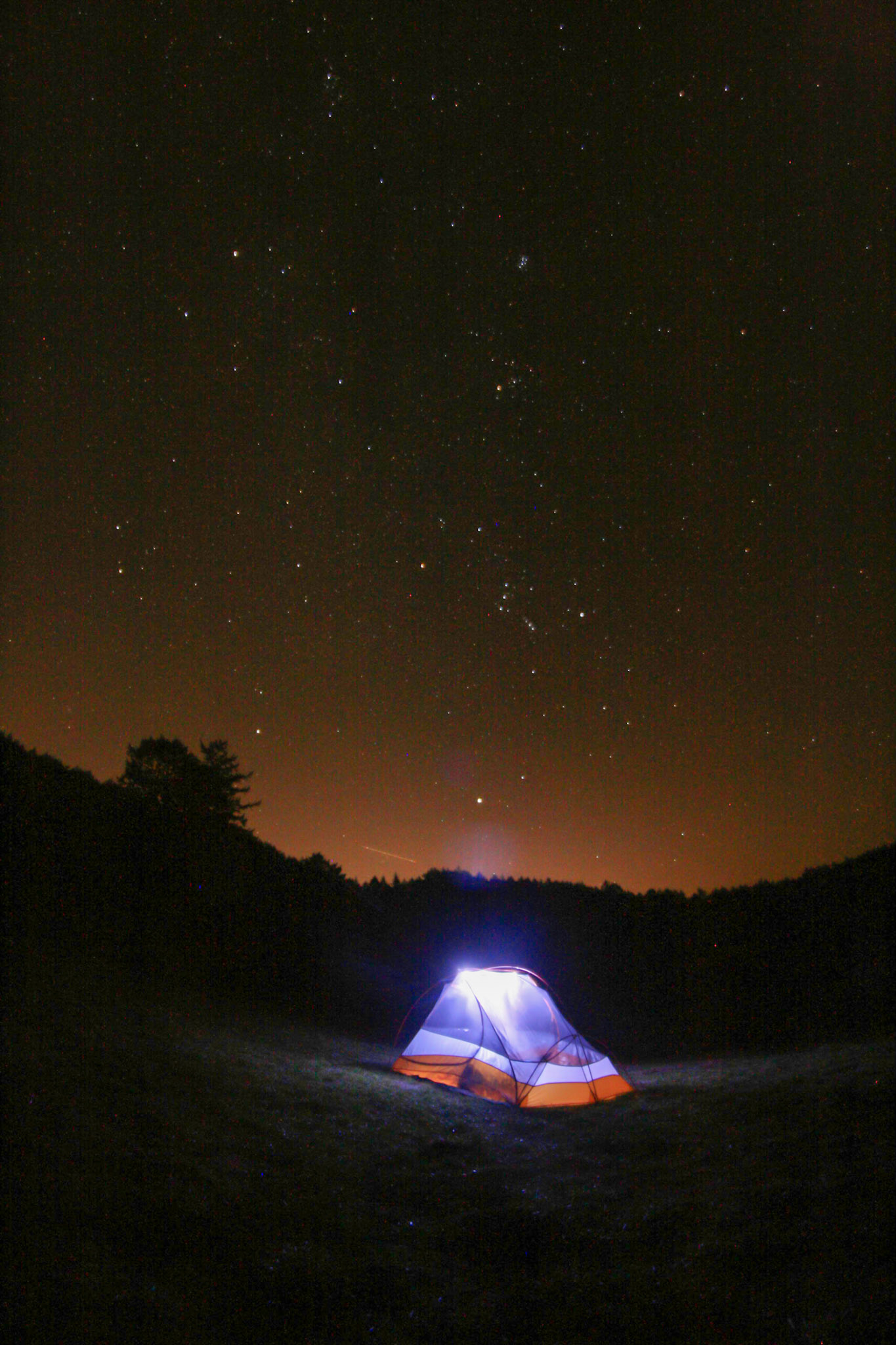
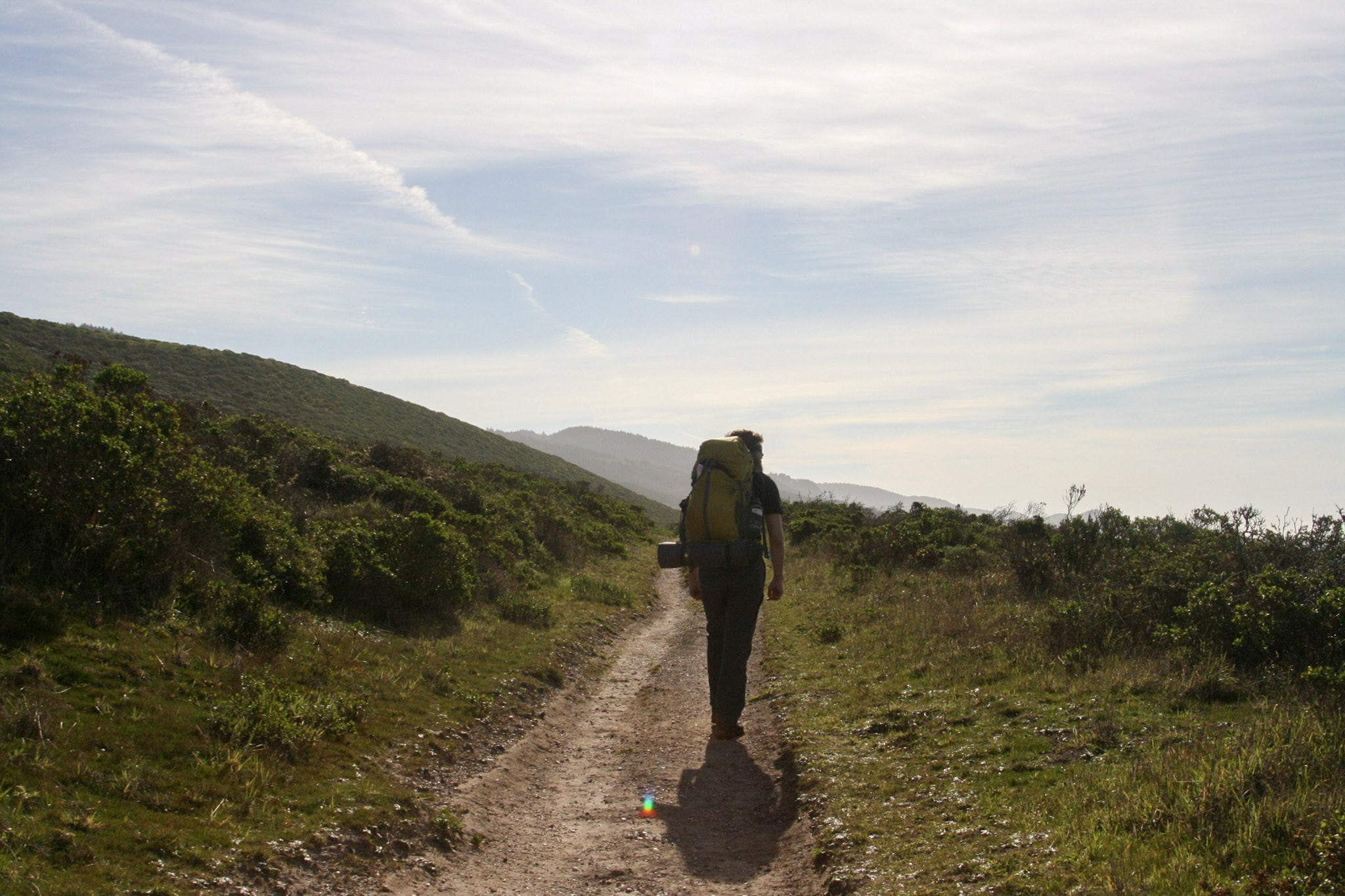
Point Reyes National Seashore offers year-round backcountry camping along Drakes Bay and among the hills and valleys of the Phillip Burton Wilderness. Backcountry camping is allowed in one of four established campgrounds at Point Reyes National Seashore.
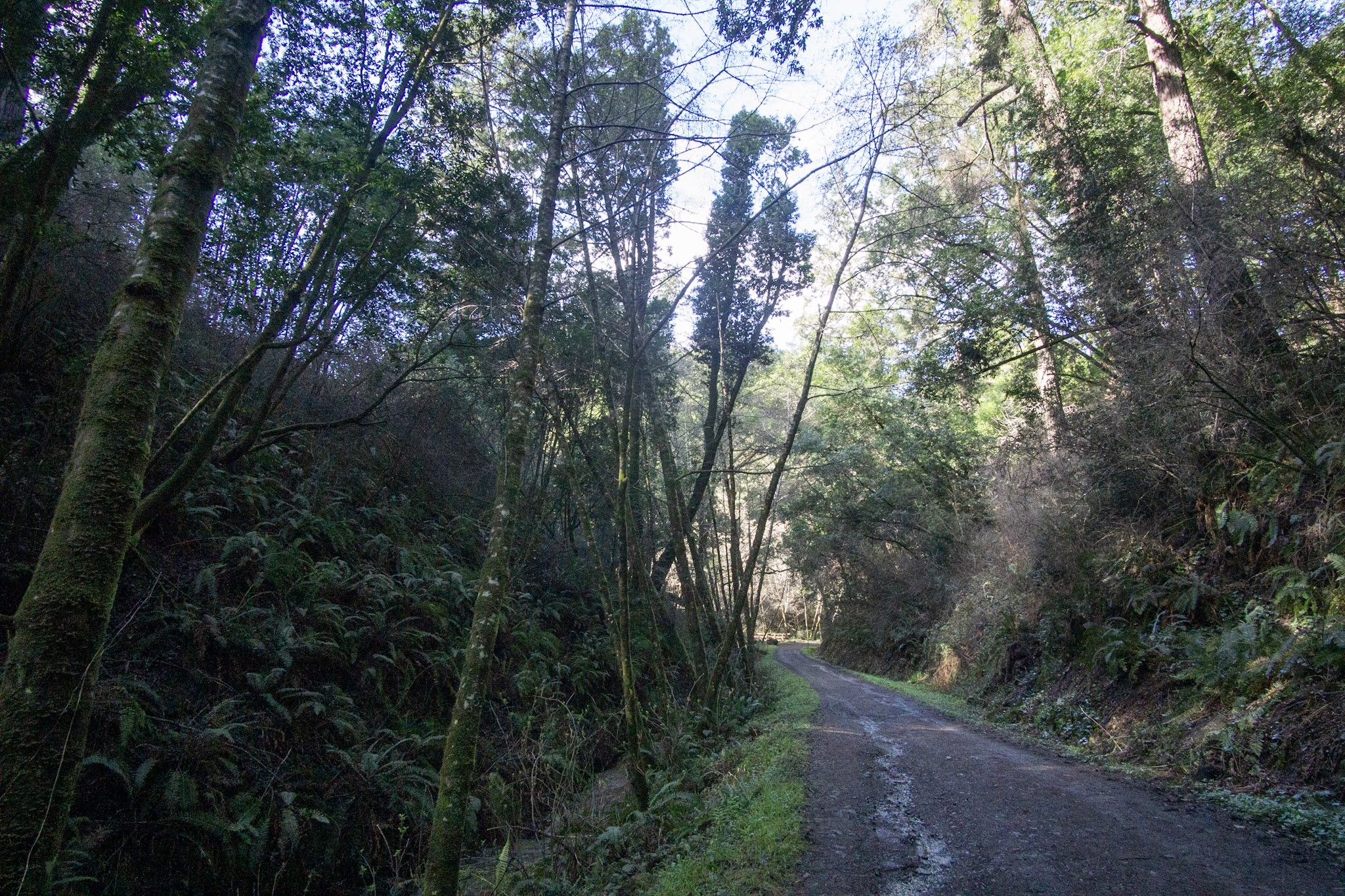
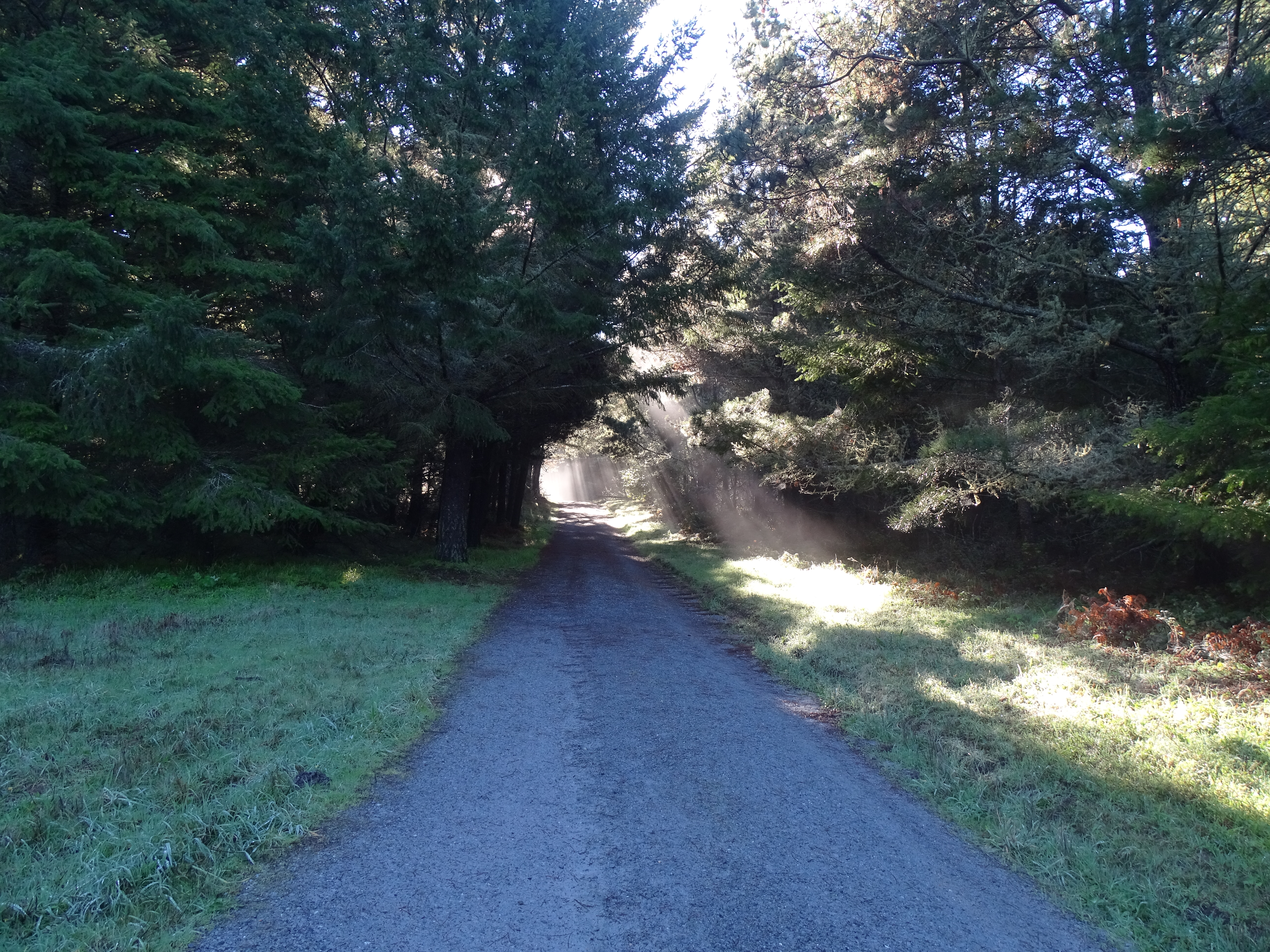
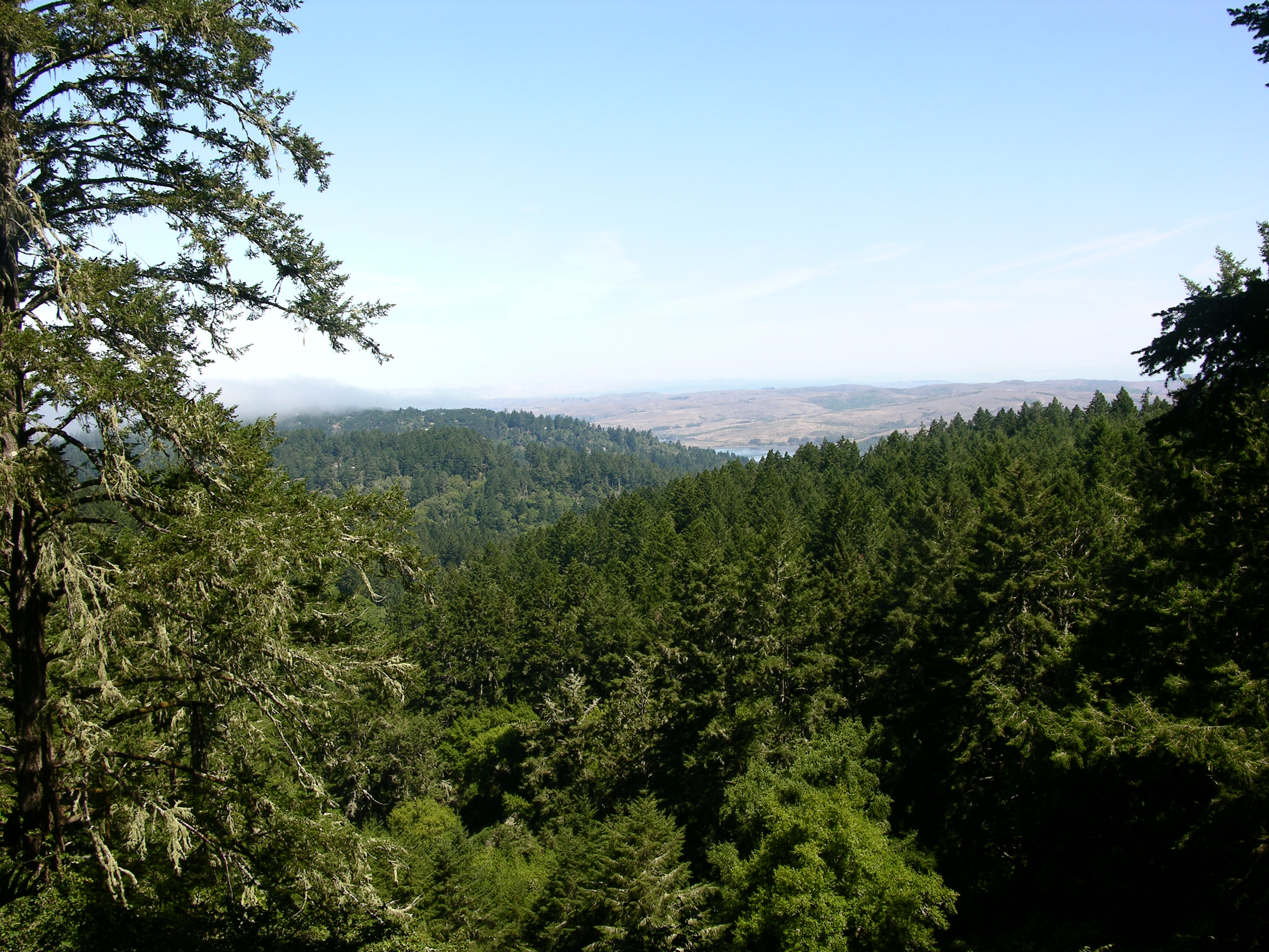
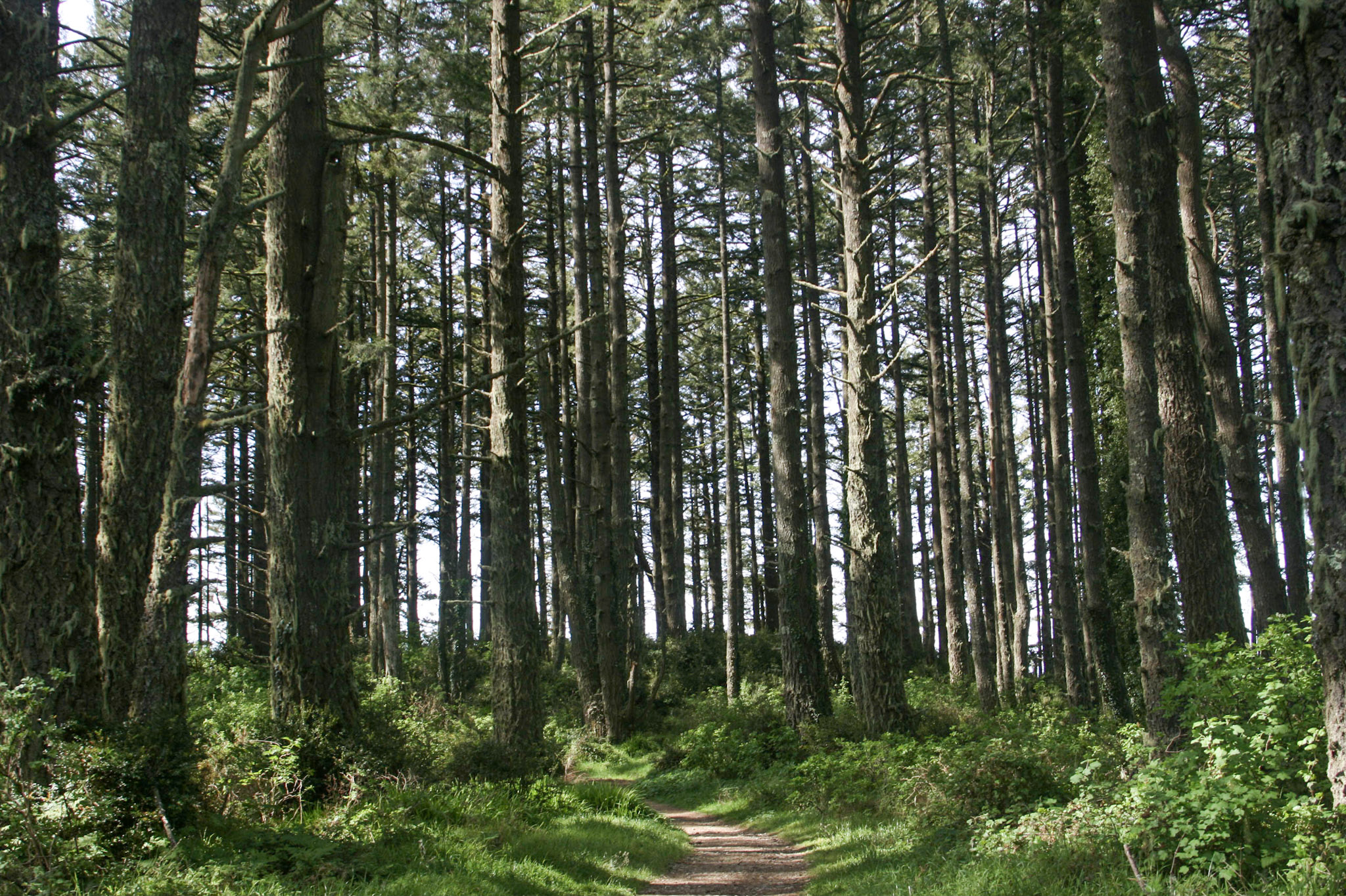
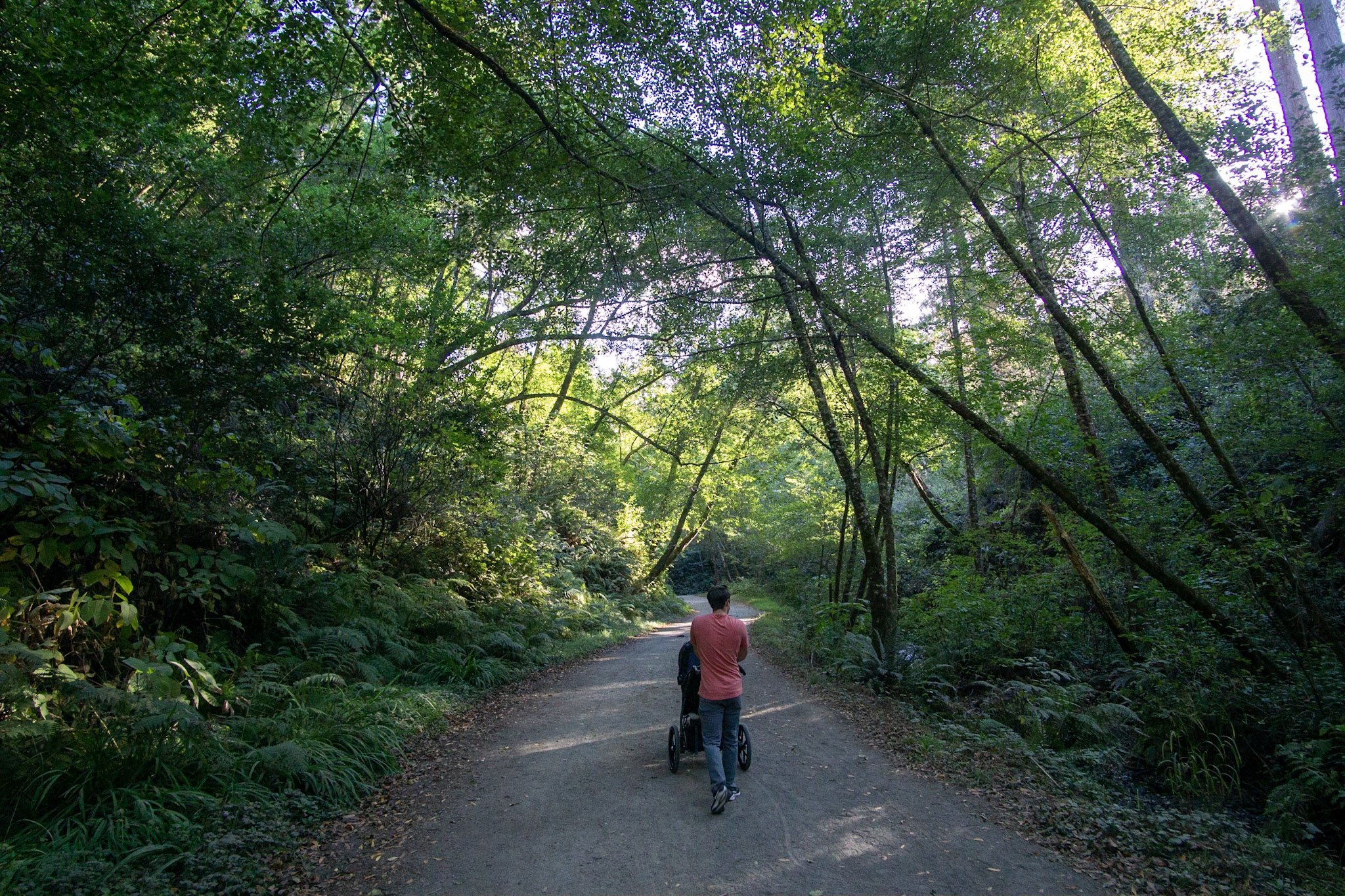
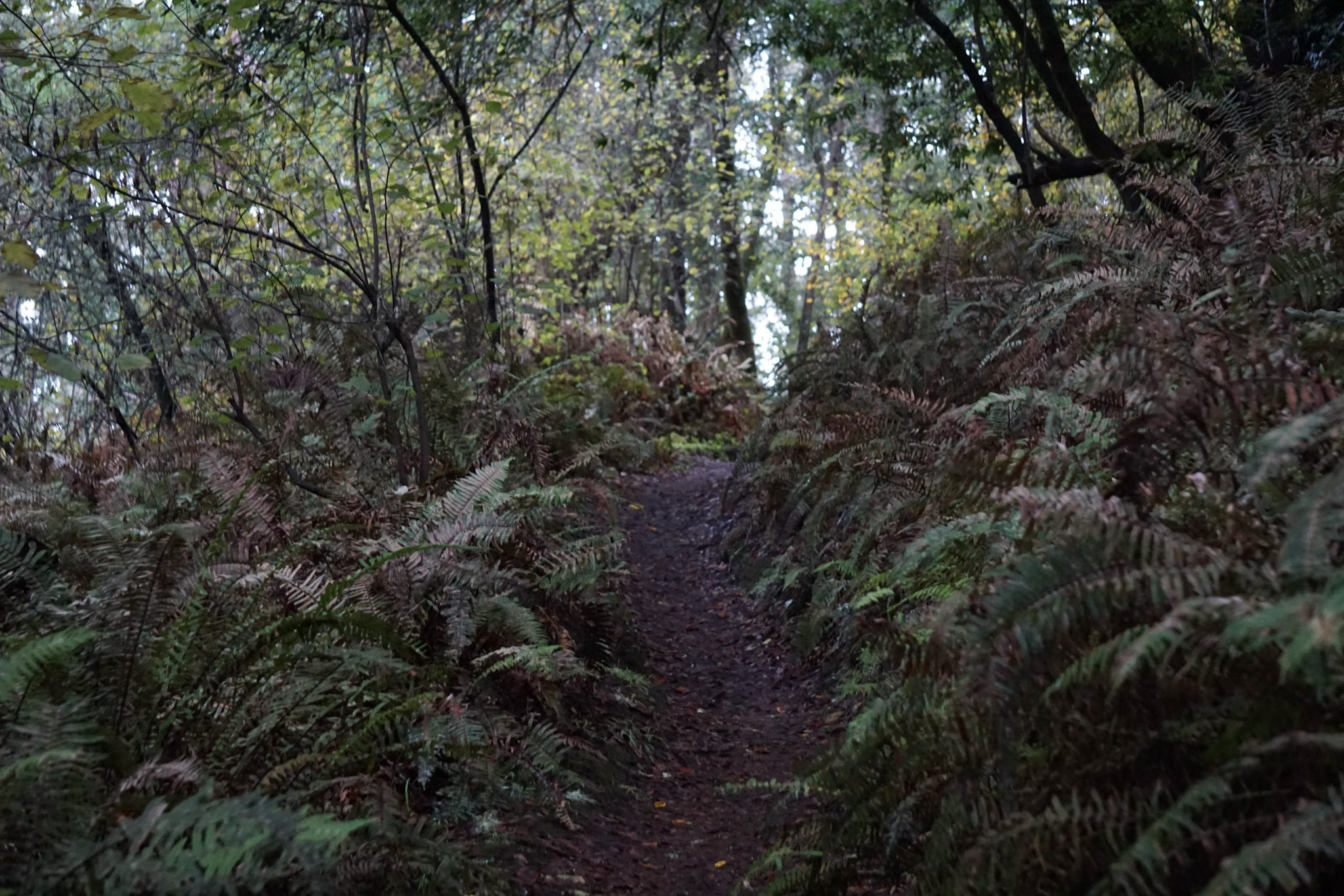
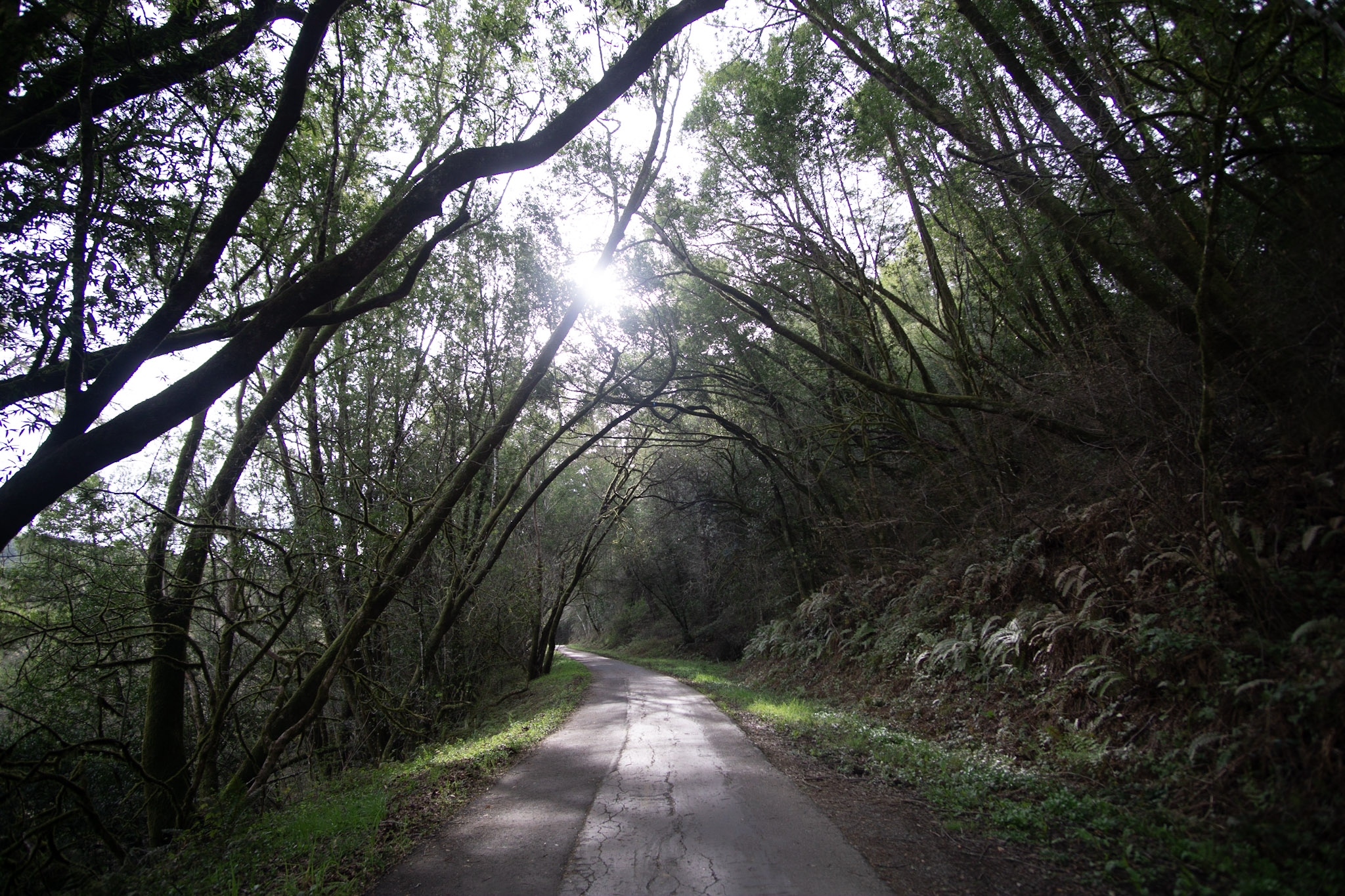
This wide gravel trail through Douglas fir forest is great for a family cruise, a mellow ride, or the start of a multi-sport adventure! This trail begins at the Bear Valley Trailhead, at the south end of the Bear Valley Parking Lot.
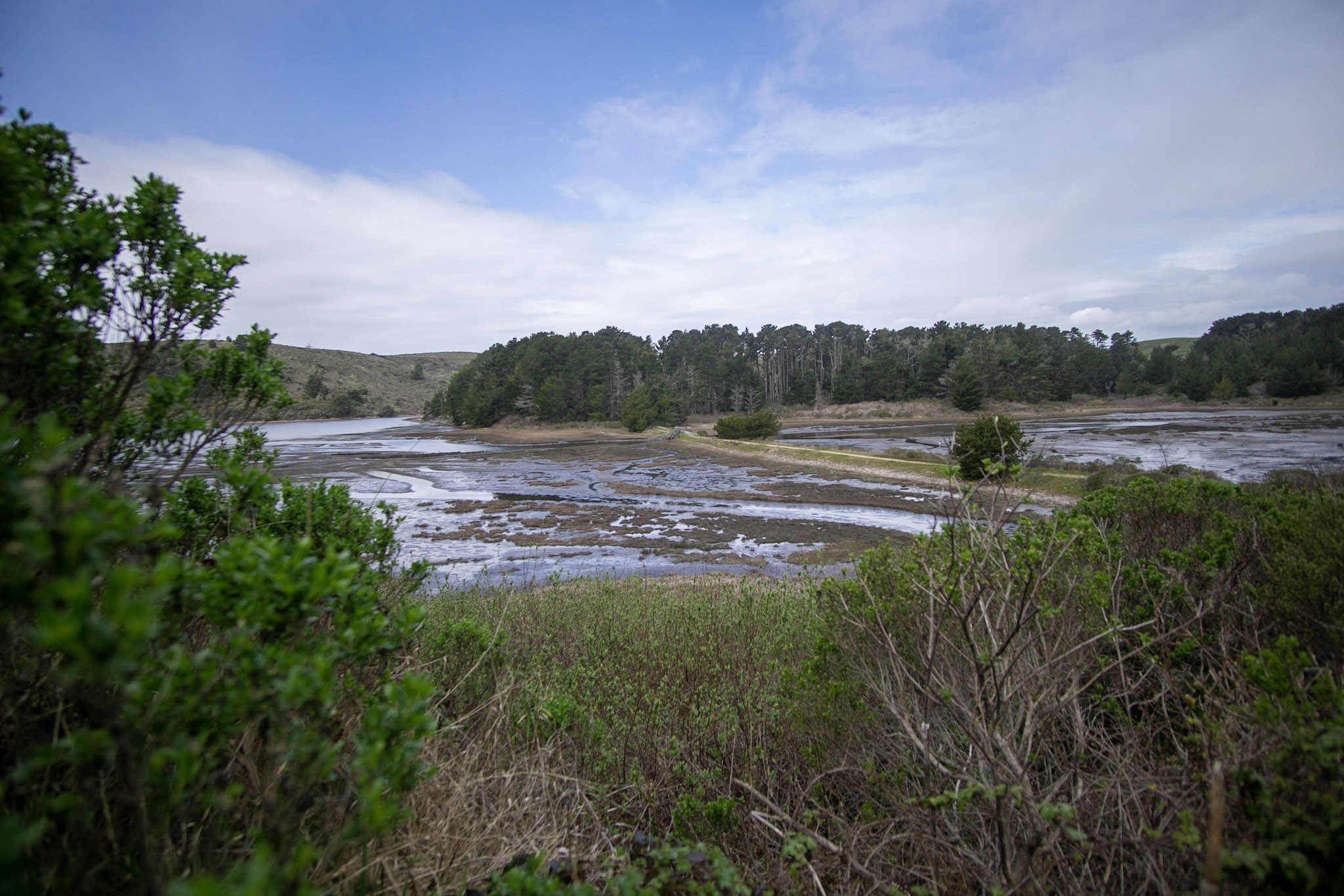
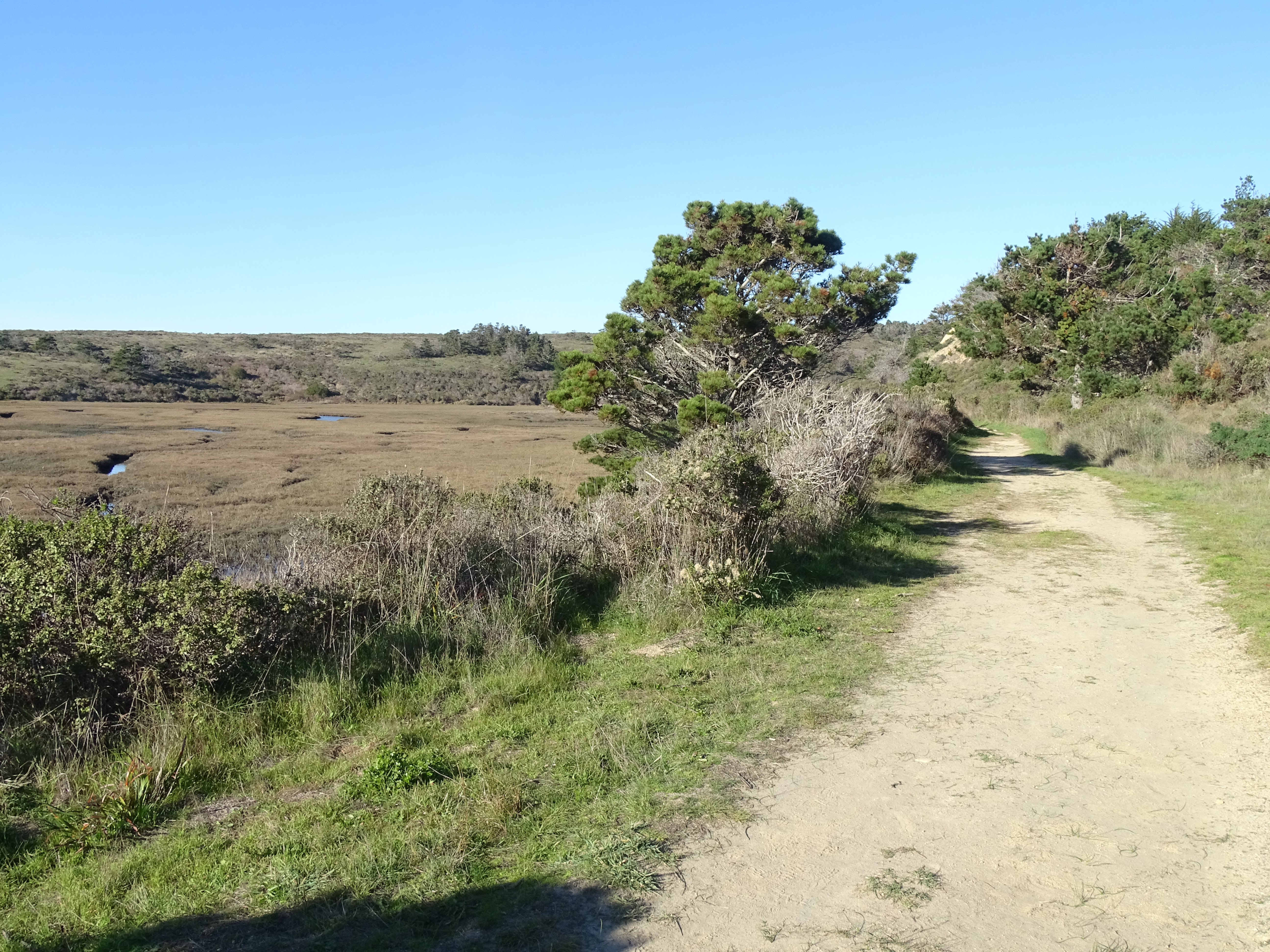
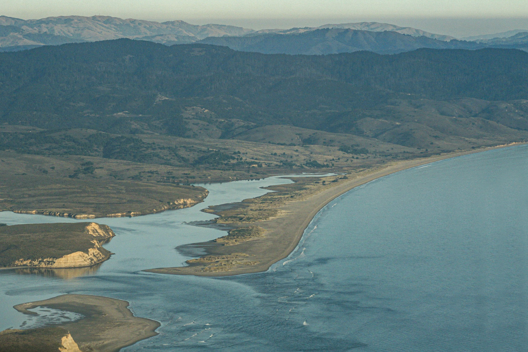
This trail through grassland and cattle pastures offers outstanding views of Drakes Estero and Estero de Limantour, and the opportunity to see the birds, bat rays, and leopard sharks that call these ecosystems home.
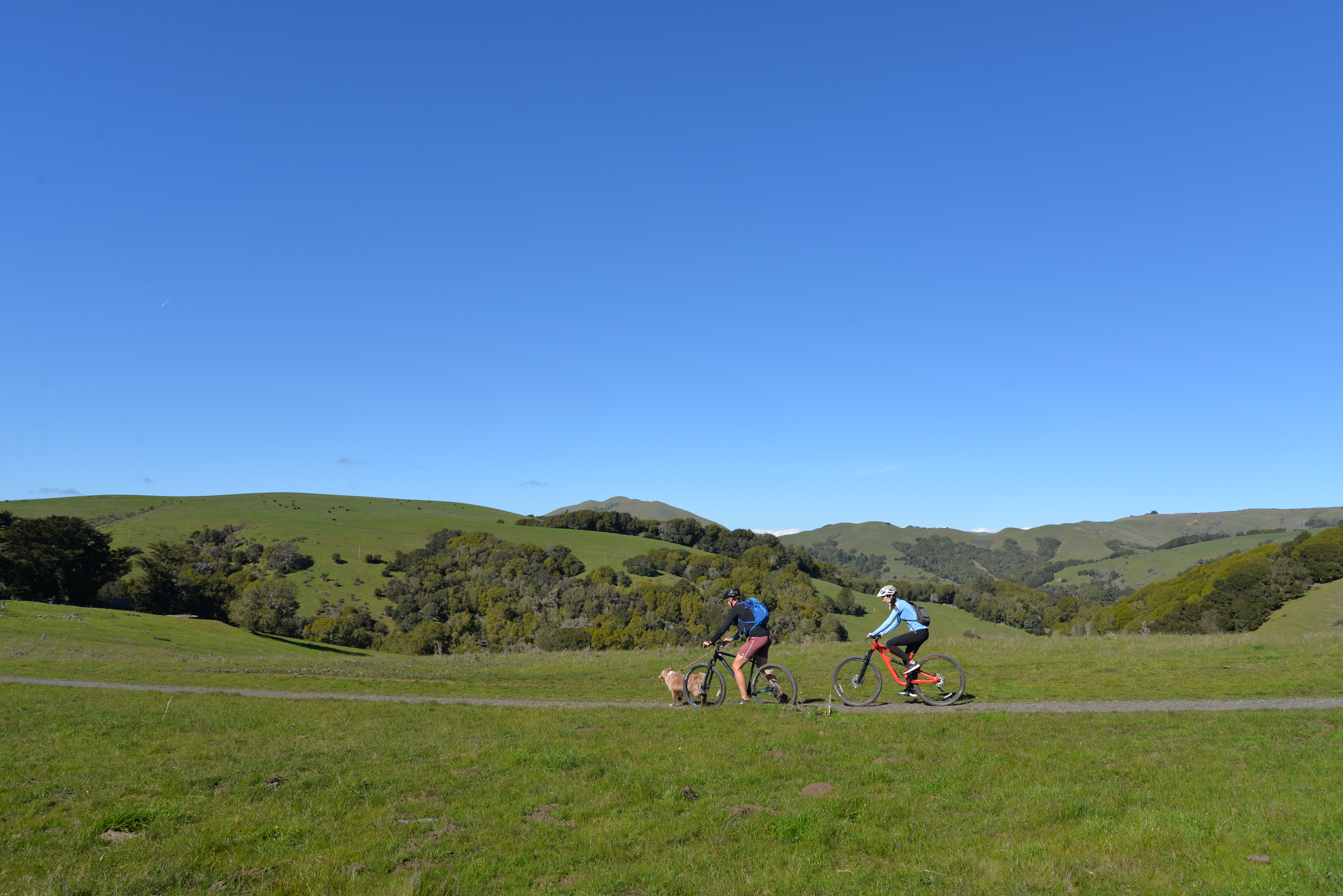
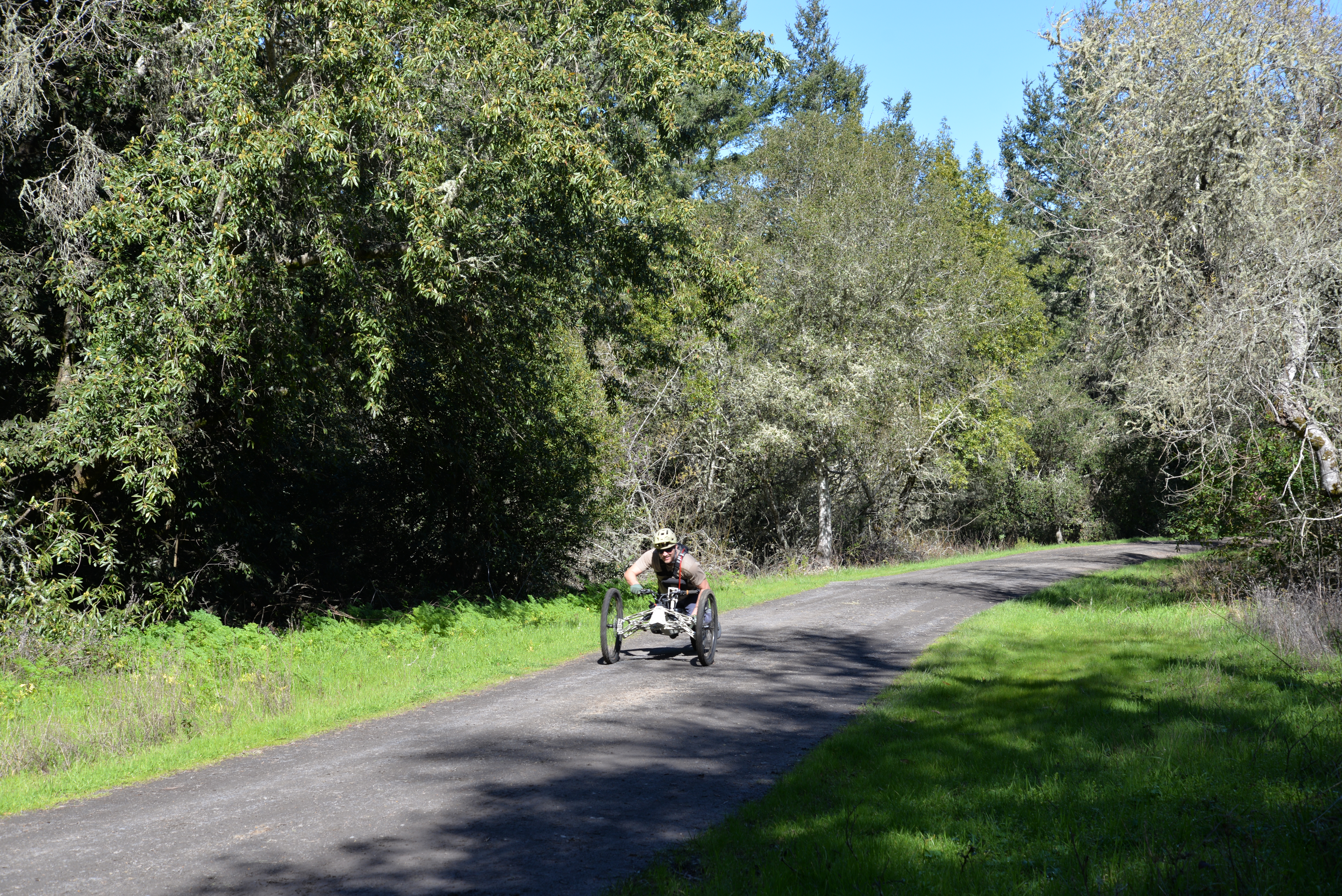
Ride your bike on this multi-use trail, through alder forests and grasslands, to beautiful coastal bluffs with ocean views. Allow 15 minutes driving time from Bear Valley to the Coast Trailhead.
Ride your bike up a moderate incline along this multi-use trail through Douglas fir forest to Sky Campground, where you can enjoy a break with oceans views.
Biking to Wildcat Campground is no easy feat—but a lot of work yields a lot of reward! Enjoy your lunch at sunny Wildcat Campground or spend some time at Wildcat Beach after you bike up and over one of the highest points of Inverness Ridge.
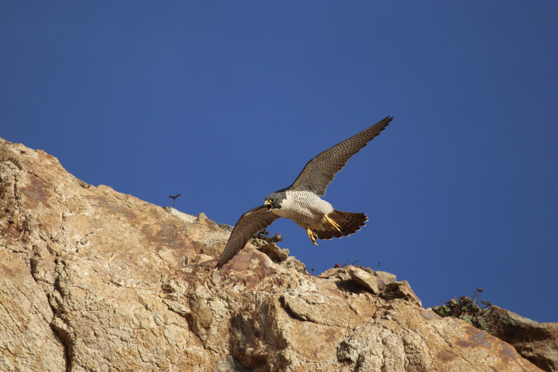
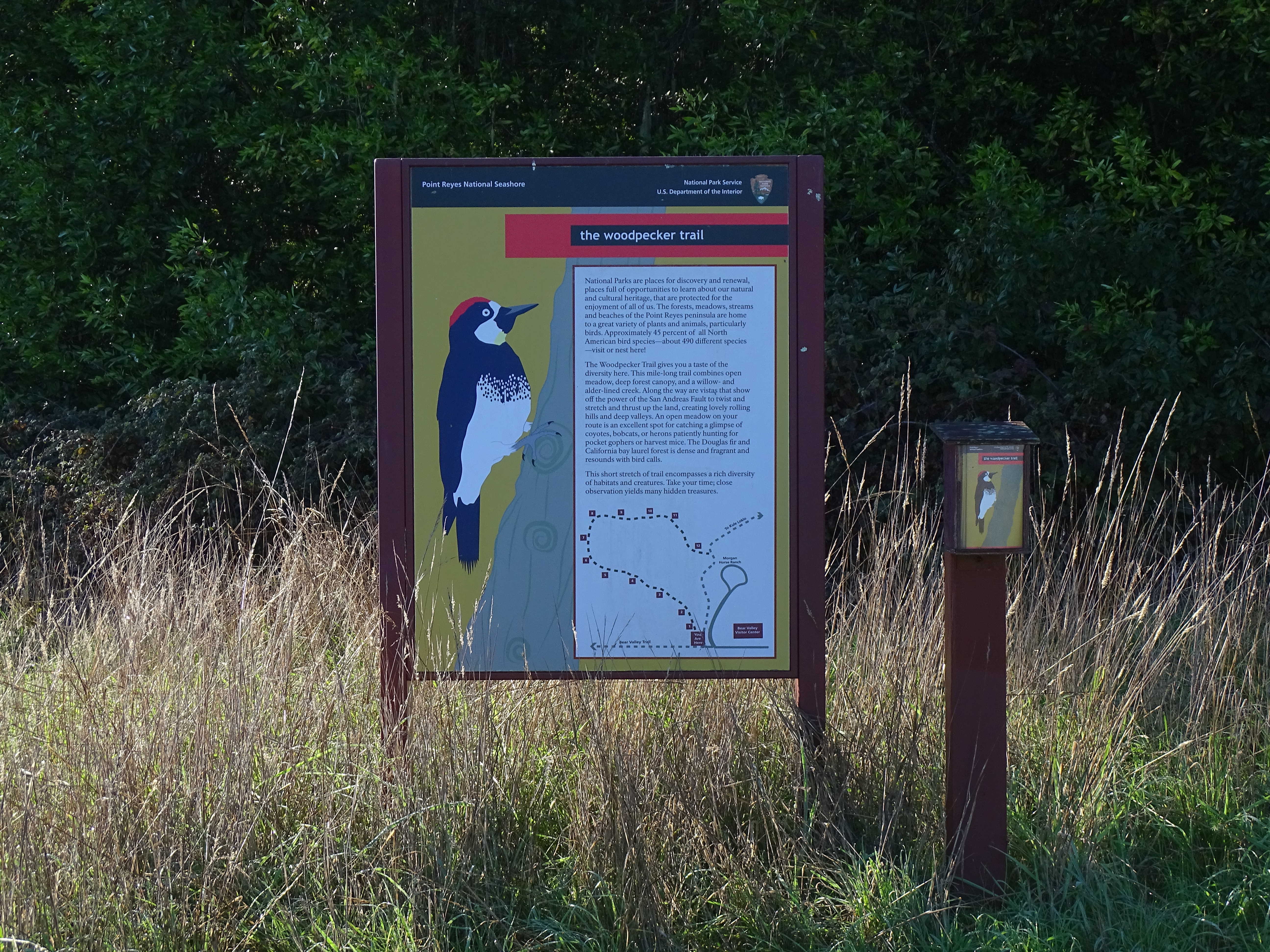
Point Reyes National Seashore offers some of the finest birding in the United States. About 54% of all North American bird species have been observed in Point Reyes National Seashore.
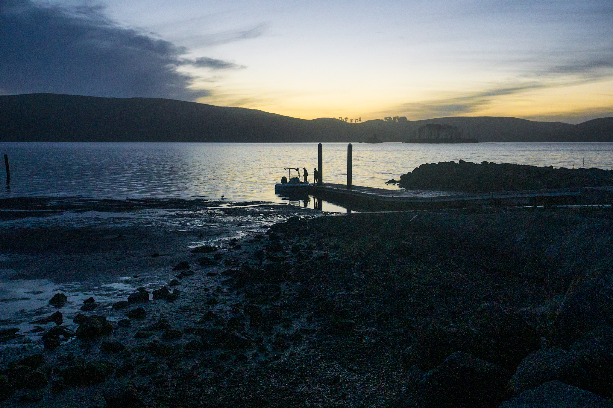
Point Reyes National Seashore offers year-round boat-in camping on the west shore of Tomales Bay. There is a fee and permit system for overnight camping within Point Reyes National Seashore.
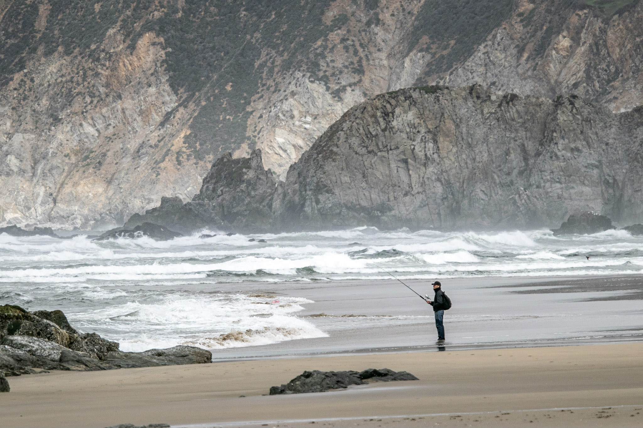
Fish on! Point Reyes National Seashore allows fishing as a means of providing for public enjoyment, and customary and traditional use, and regulates fishing to ensure that it is managed in a manner that avoids unacceptable impacts to park resources.
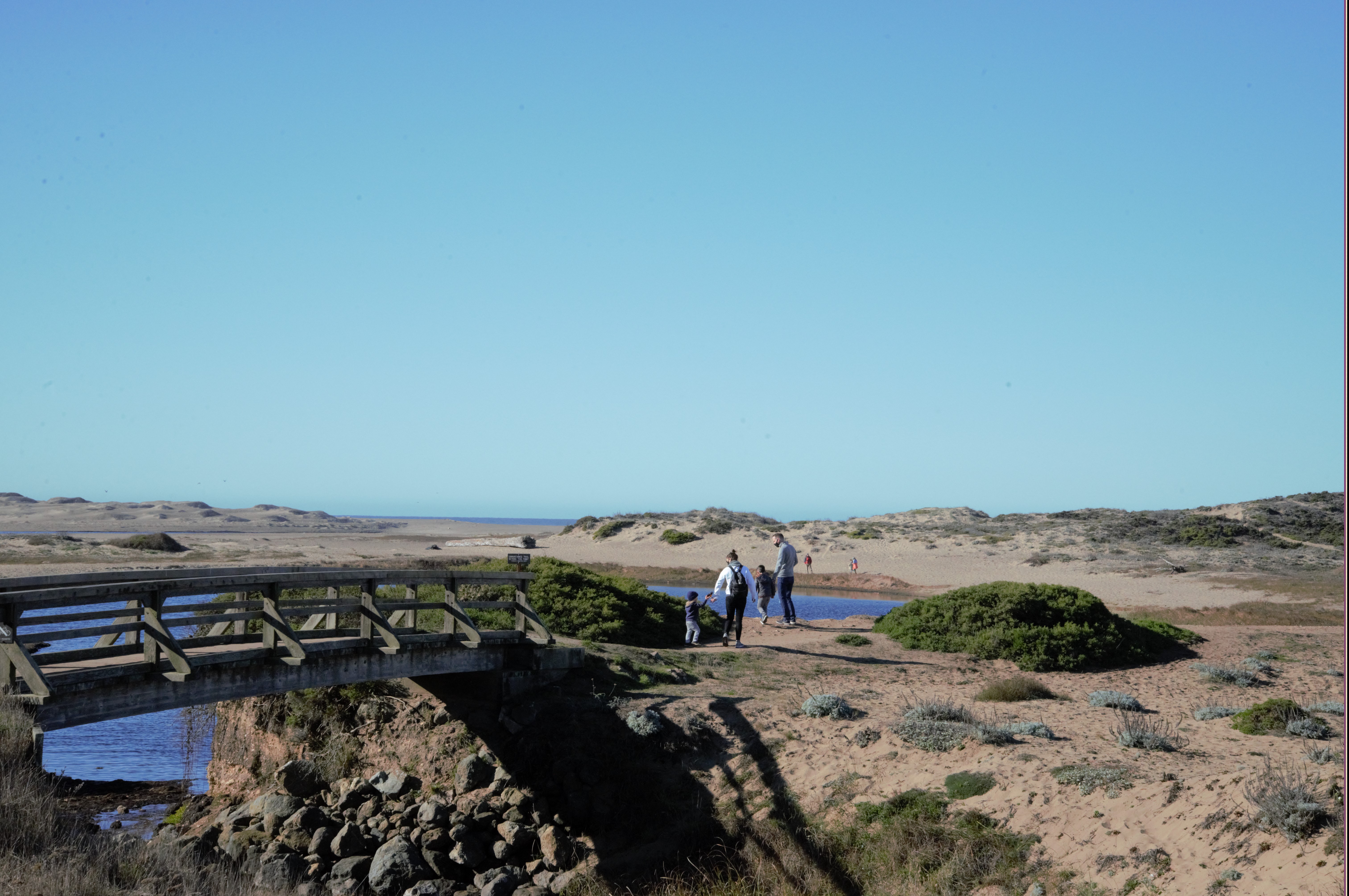
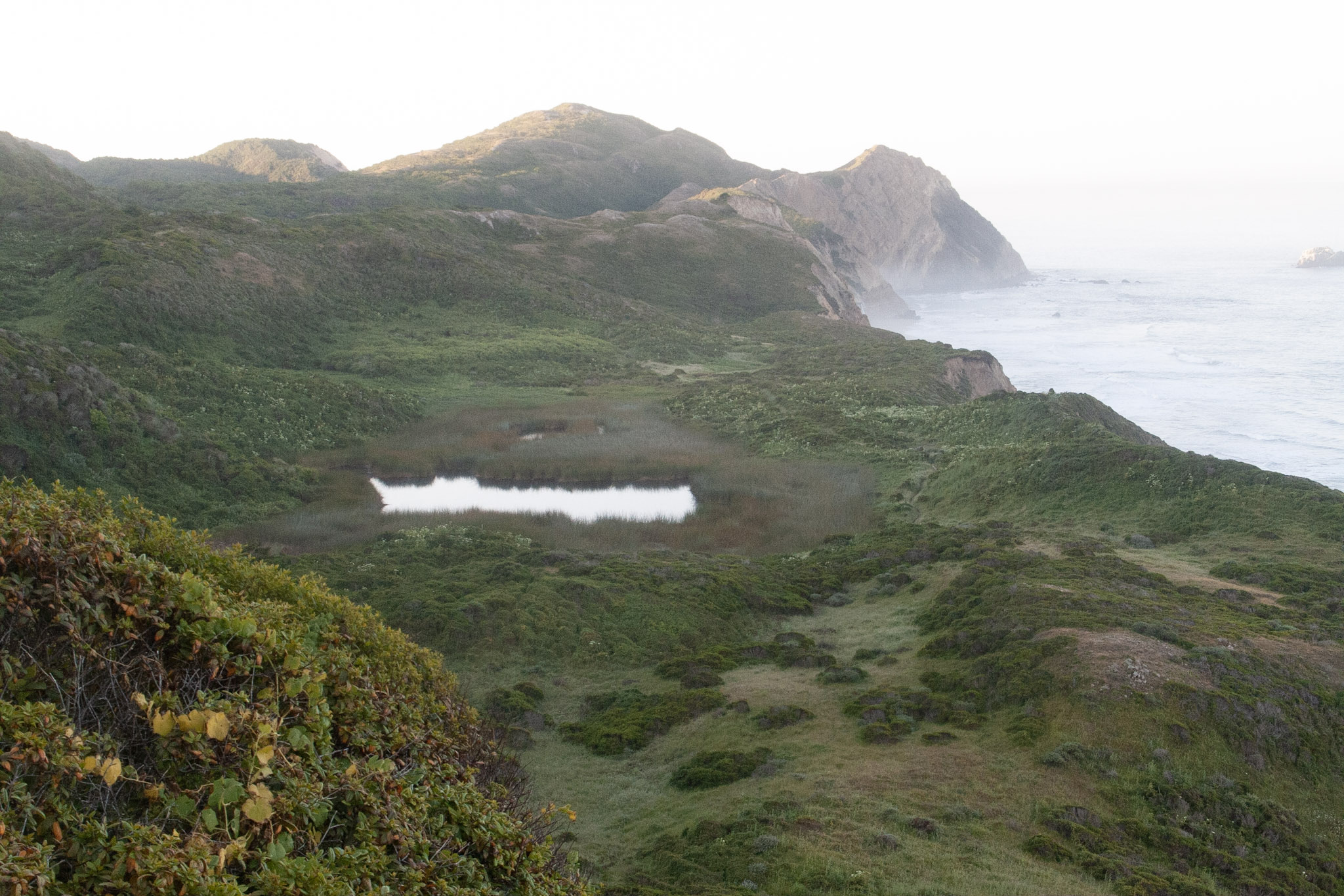
Take an easy hike that will lead you to a unique coastal lagoon bordered by sand dunes that offers great opportunities for viewing birds and wildflowers. Allow 20 to 25 minutes driving time from Bear Valley to the Abbotts Lagoon Trailhead.
Take an easy hike that will lead you past a unique coastal lagoon bordered by sand dunes to the Pacific Ocean. This hike offers great opportunities for viewing birds and wildflowers.
Admire redwood forests and expansive views of the Olema Valley on this dog-friendly, multi-use trail. This up-to-11-mile-long trail begins at either at the Bolinas Ridge Trailhead along Sir Francis Drake Boulevard or at the trail's southern end at the…
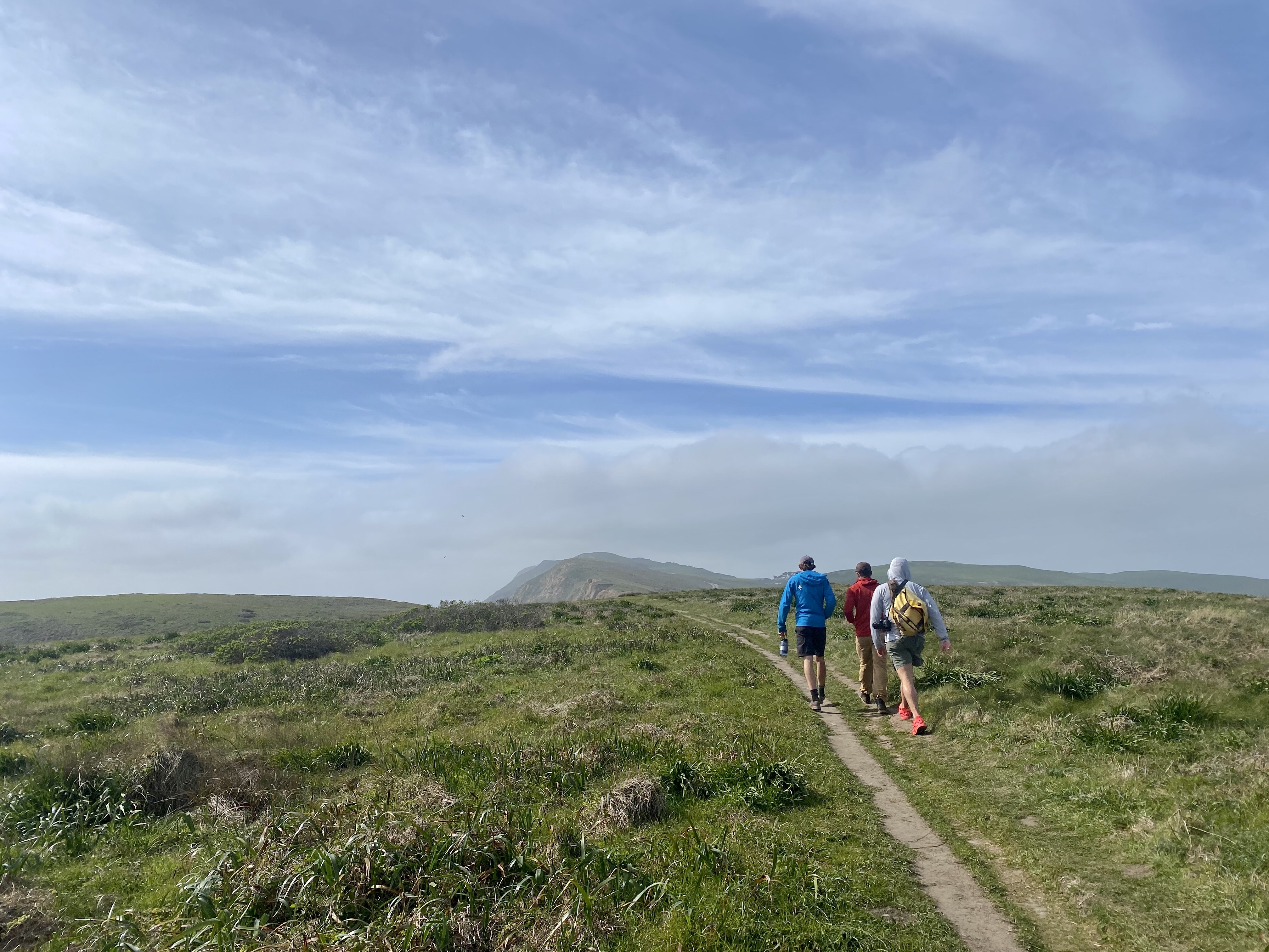
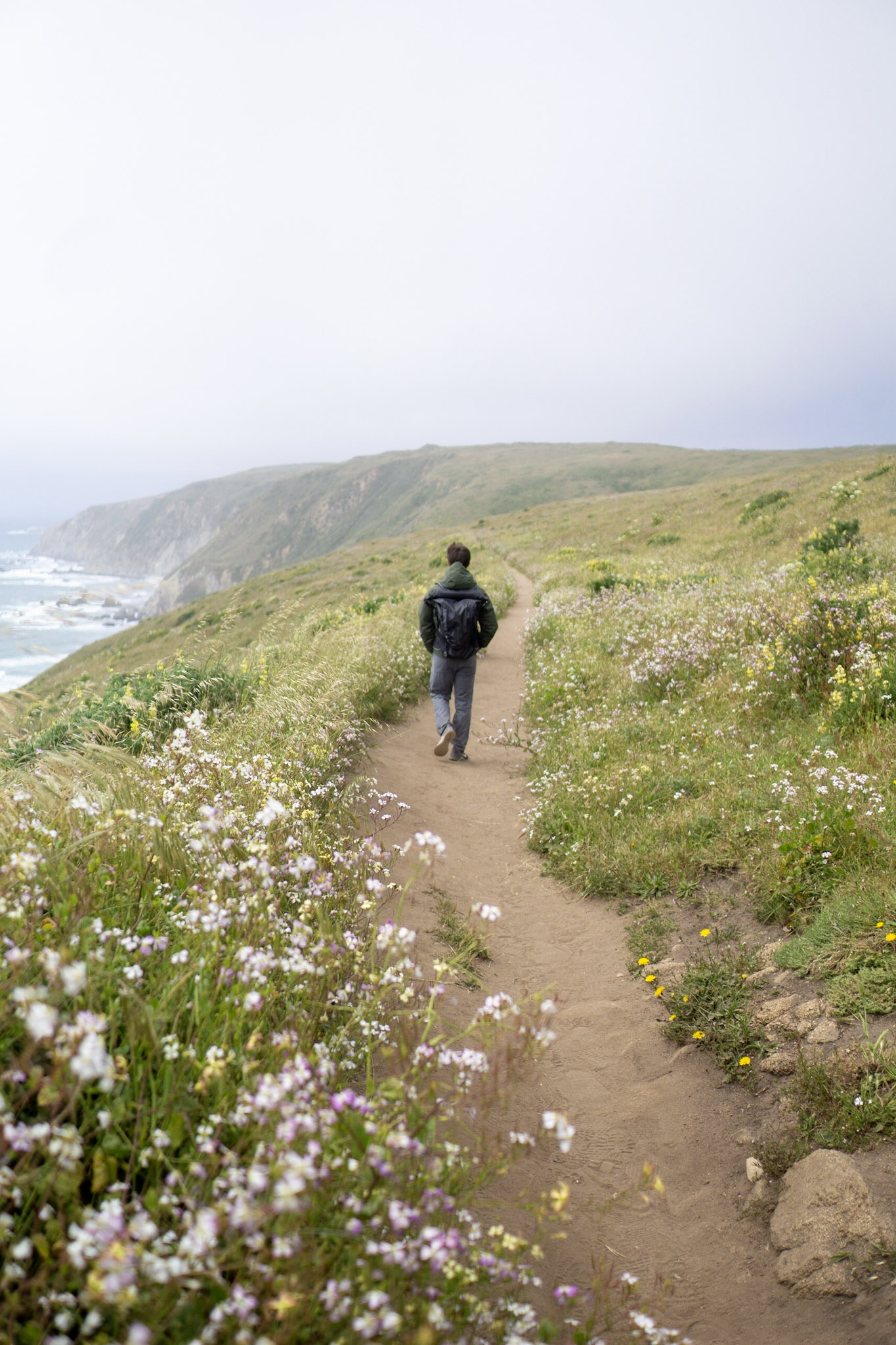
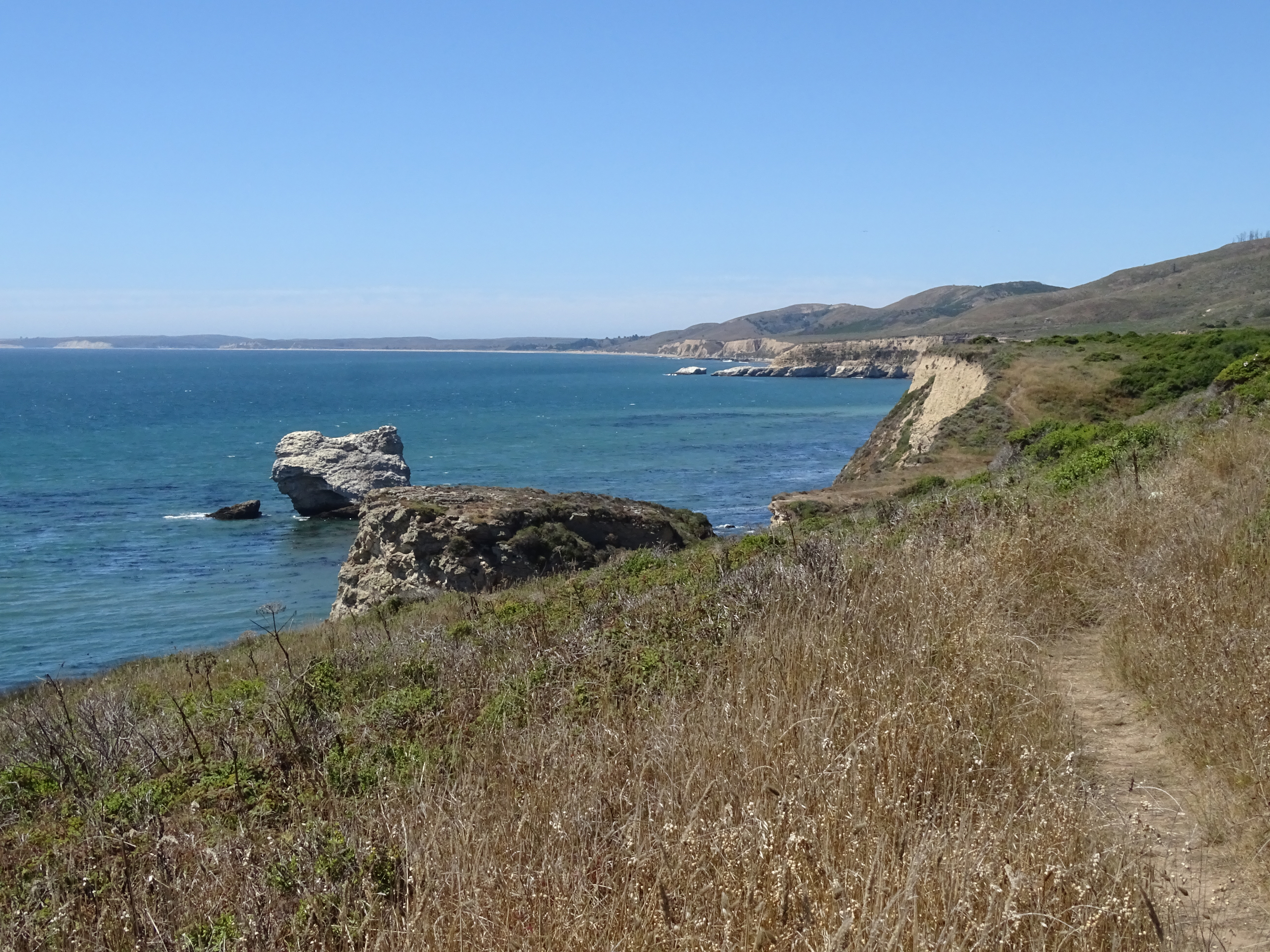
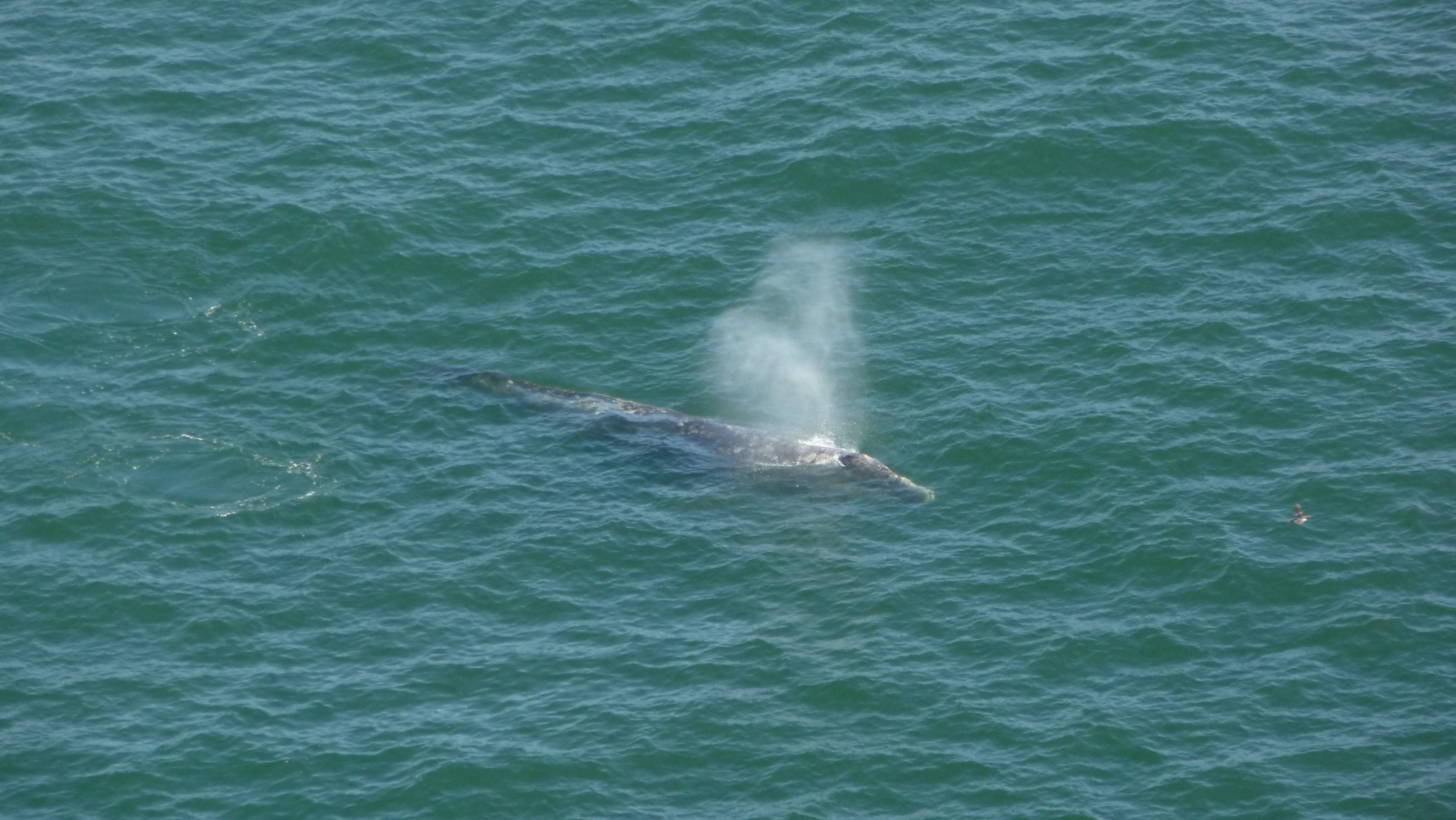
Enjoy spectacular views of Drakes Bay, the Pacific, and, in spring, wildflowers along this open coastal walk. From January through May, look for migratory whales from the point. Allow 45 minutes driving time from Bear Valley to the Chimney Rock Trailhead.
This trail through grassland and cattle pastures offers outstanding views of Drakes Estero and Estero de Limantour, and the opportunity to see the birds, bat rays, and leopard sharks that call these ecosystems home.
This trail through grassland and an abandoned Christmas tree farm to the head of Home Bay offers the opportunity to see the birds, bat rays, and leopard sharks that call these habitats home.
This loop hike passes through young woodlands, coastal scrub, and grassland within the Phillip Burton Wilderness. It offers views of Estero de Limantour and the possibility of seeing tule elk and other wildlife that call this area home.
Follow this relatively flat trail from Pierce Point Road along the northern edge of Kehoe Marsh and out to Kehoe Beach. This beach is at the north end of the eleven-mile long Point Reyes Beach.
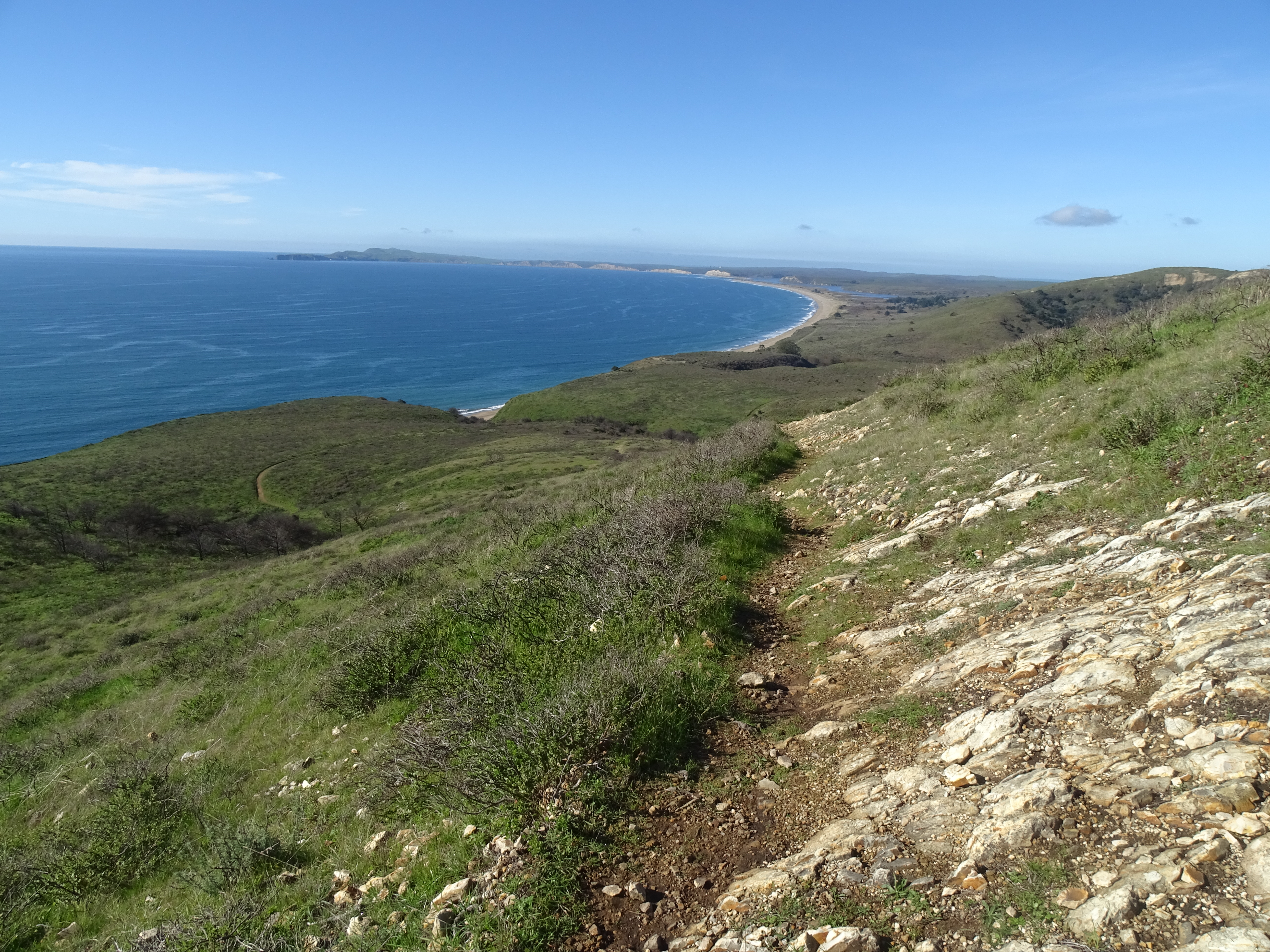
This moderate hike through coastal scrub and grasslands offers some breath-taking ocean views and a couple locations to descend to a beach. Allow 15 minutes driving time from Bear Valley to the Laguna Trailhead.
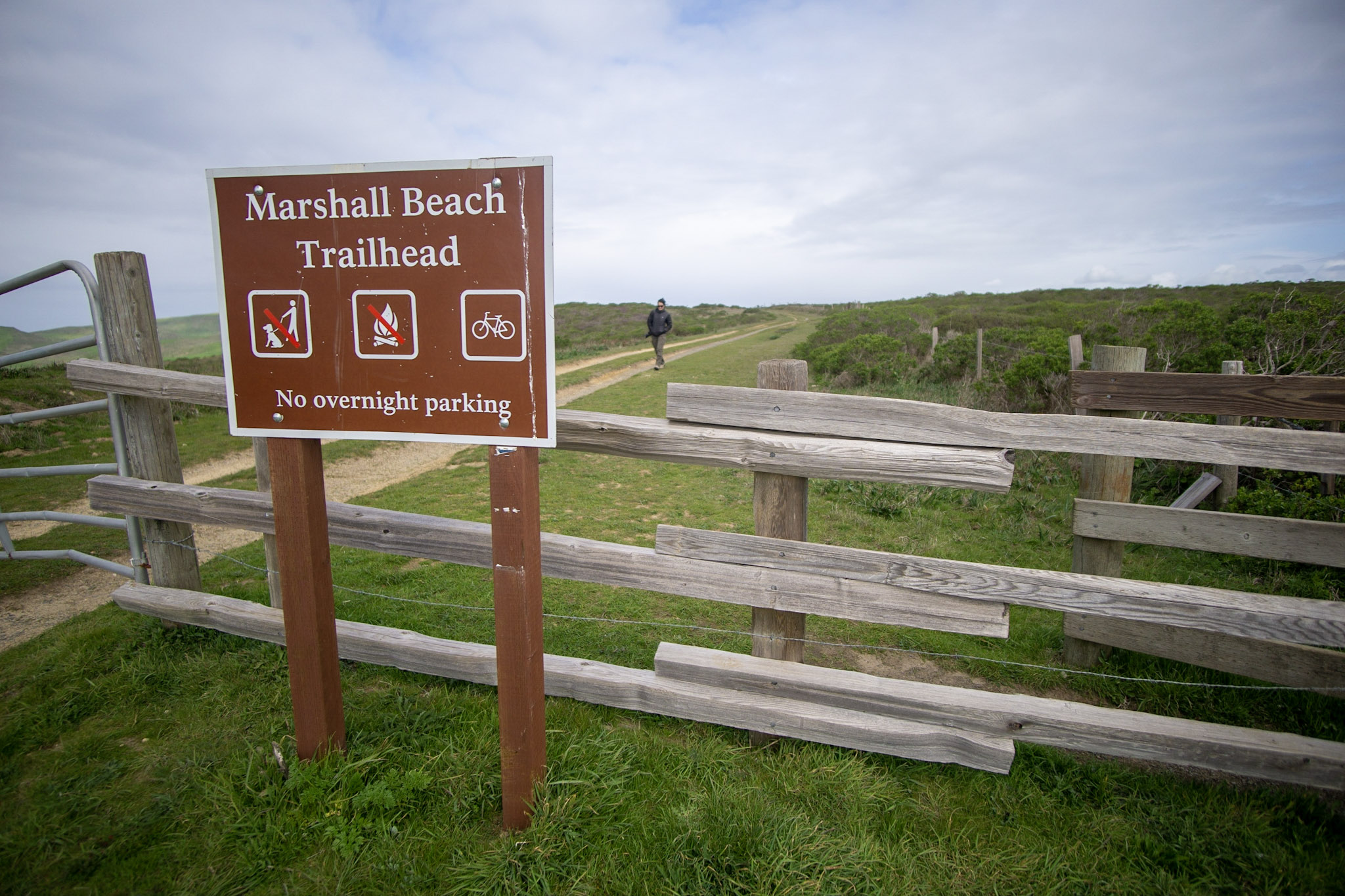
Marshall Beach is a 400-foot-long (366-meter-long) beach on the west side of Tomales Bay in the northern part of the national seashore that may be reached via the via the 1.2-mile-long (1.9-kilometer-long) Marshall Beach Trail.
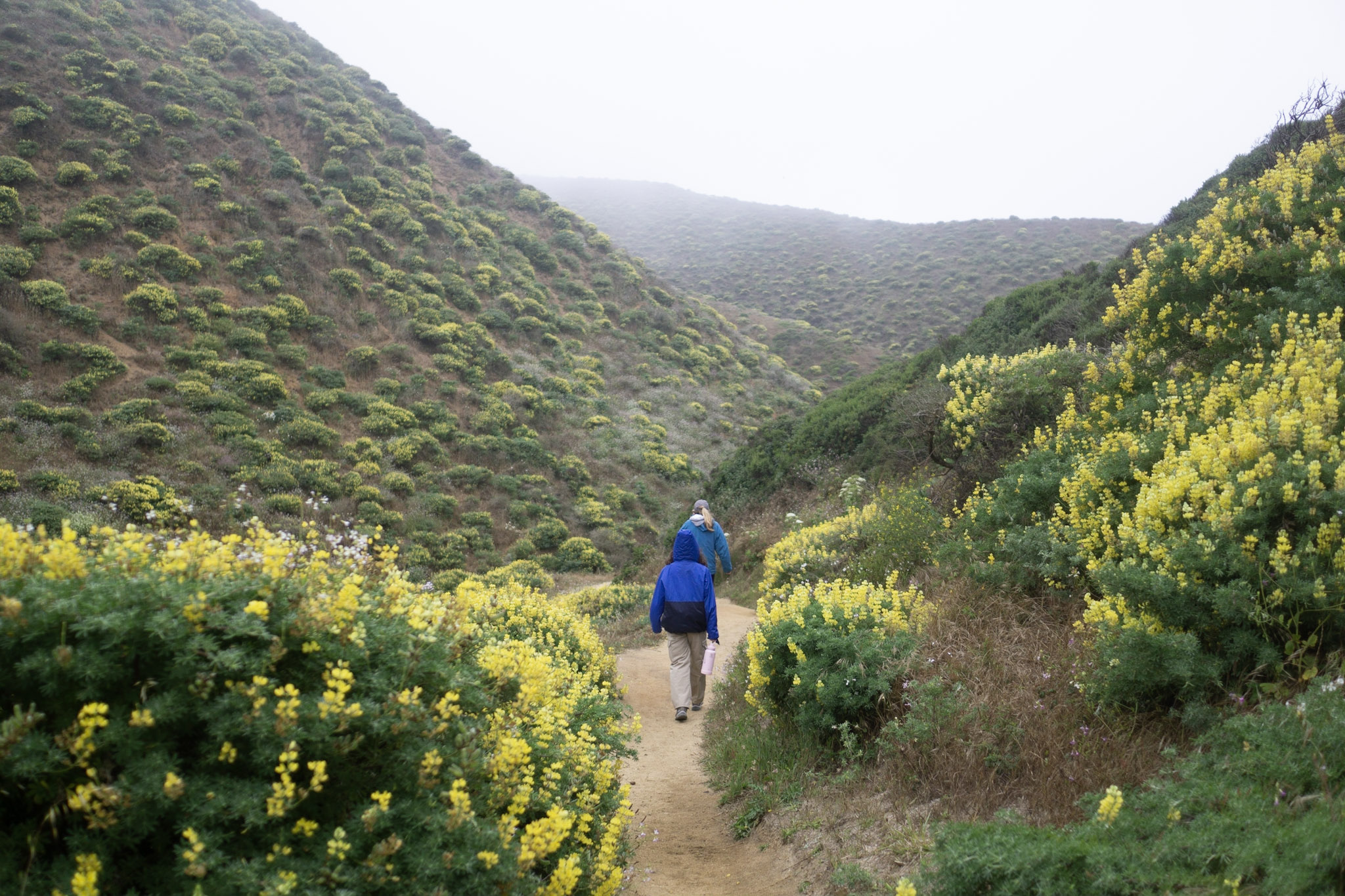
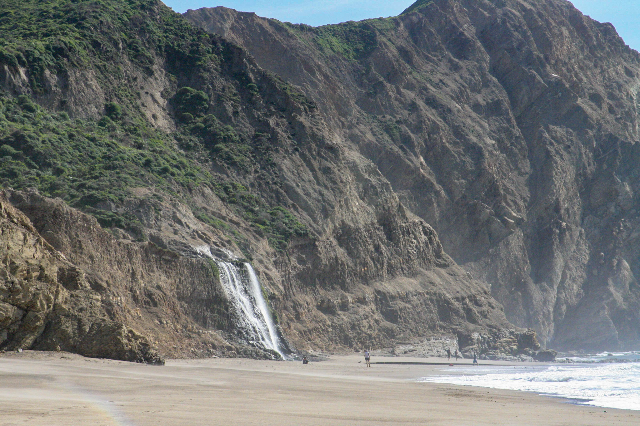
A rugged trail descends moderately steeply down a ravine to the ocean. McClures Beach is contained within a beautiful cove backed by rocky cliffs, but watch out for tidal fluctuations and dangerous surf.
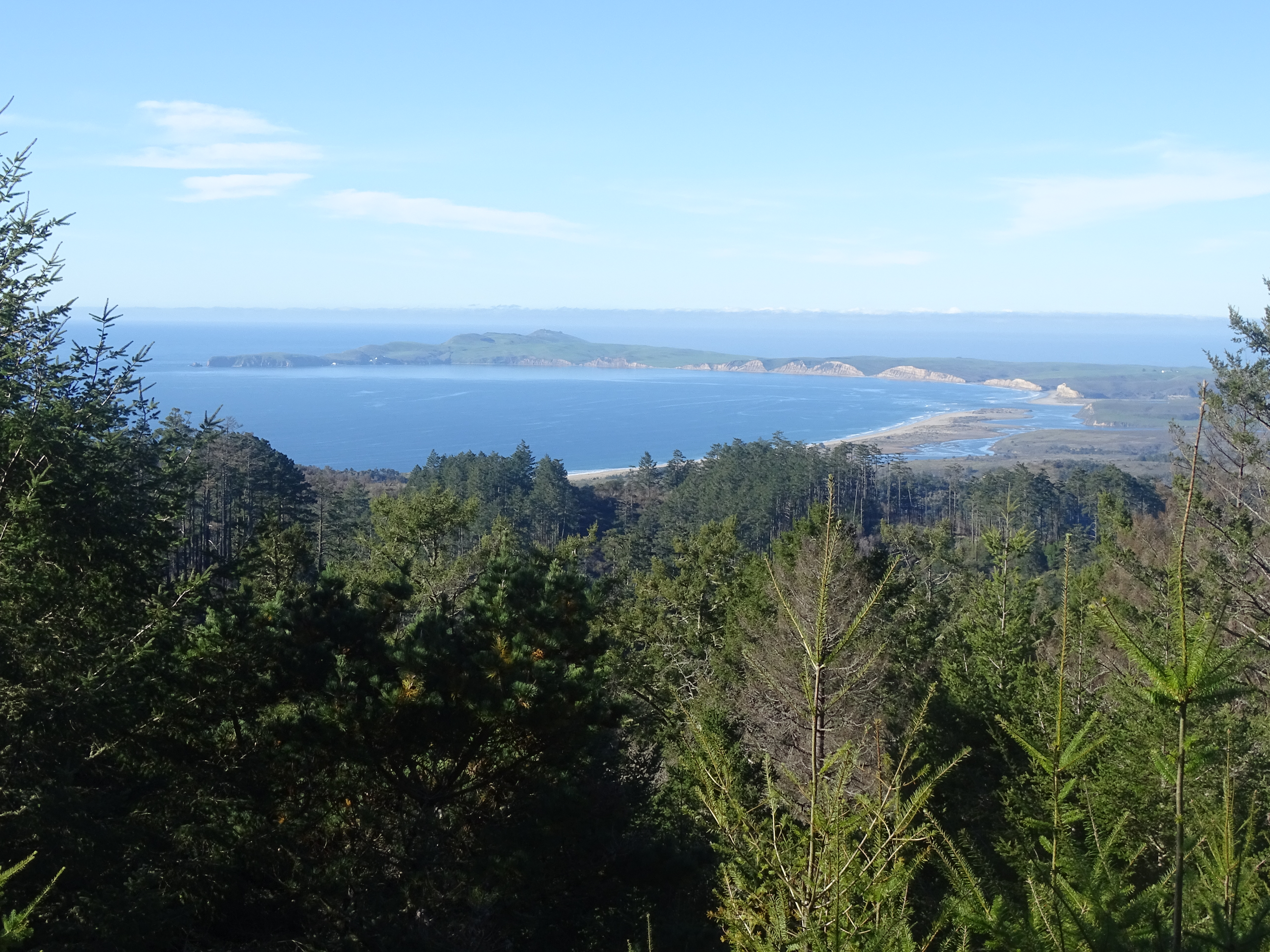
This hike takes you through dense forest and a few meadows, starting with an uphill climb on the east side of Inverness Ridge to a ridgetop with ocean views. Most of this hike's distance is within the Phillip Burton Wilderness.
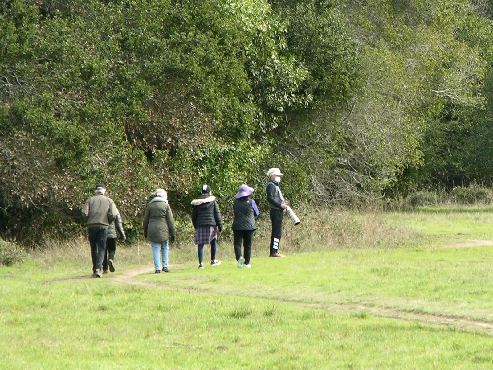
This out-and-back trail offers an easy hike with opportunities to see diverse bird life, wildflowers, and possibly tule elk! Allow 15 minutes driving time from Bear Valley to the Muddy Hollow Trailhead and 20 minutes to Limantour Beach.
Explore the floor of a valley that follows the San Andreas Fault, passing through meadows and woods between Bear Valley and Five Brooks. This hike can begin at either the Bear Valley Trailhead or the Five Brooks Trailhead.
Explore a section of the floor of a valley that follows the San Andreas Fault, passing through meadows and woods. This trail begins at the Bear Valley Trailhead, at the south end of the Bear Valley Parking Lot.
This varied hike takes you through dense forest, meadows, chaparral, and coastal grasslands, starting with an uphill climb on the east side of Inverness Ridge to a ridgetop with ocean views.
Ramble along the crest of an open ridge that offers spectacular views of tule elk, Tomales Bay, and the Pacific Ocean. Allow 35 minutes driving time from Bear Valley to the Tomales Point Trailhead, located at the north end of Pierce Point Road.
Take a short walk along the ridge crest of Tomales Point to a location from which tule elk are frequently seen. Allow 35 minutes driving time from Bear Valley to the Tomales Point Trailhead, located at the north end of Pierce Point Road.
Travel from forest to tidepools on this ambitious hike. This trail includes beautiful forest and spectacular coastal hiking with sweeping ocean views, though much of this area was burned in the Woodward Fire that began as lightning strikes in August of 2020.
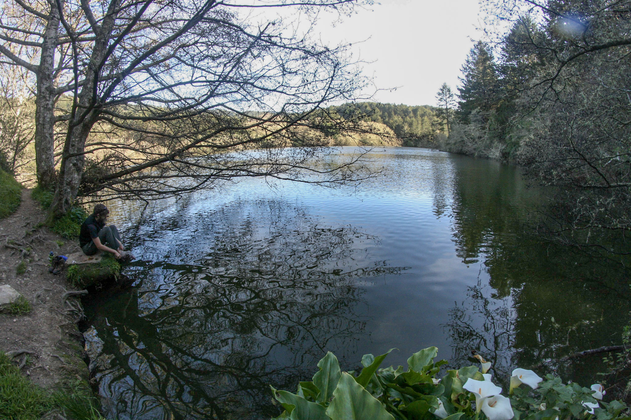
Bass Lake is a great destination for a moderate day hike, or a beautiful pit stop on the way to Wildcat Beach. This hike is mostly within the Phillip Burton Wilderness. Please practice Leave No Trace principles.
Stroll through a forest of towering Douglas fir trees and along a shaded creek on this family-friendly hike to Divide Meadow. This hike begins at the Bear Valley Trailhead, at the south end of the Bear Valley Parking Lot.
Meander along a creek through Douglas fir forest to arrive at a beautiful stretch of coastline deep within the Phillip Burton Wilderness. This trail begins at the Bear Valley Trailhead, at the south end of the Bear Valley Parking Lot.
The hikes described on this page start at the Bear Valley Trailhead and feature steep 400 meter (1300 feet) climbs to Mount Wittenberg, the highest point on the Point Reyes Peninsula at 1407 feet (426 meters) in elevation.
This hike provides the easiest route to Mount Wittenberg, the highest point on the Point Reyes Peninsula at 1407 feet (426 meters) in elevation. Allow ten minutes driving time from Bear Valley to the Sky Trailhead, which is located along Limantour Road.
An easy to moderate walk on the beach or through coastal scrub and grassland offers some breath-taking ocean views and leads to a rocky shoreline where one can look for intertidal organisms when the tide is very low.
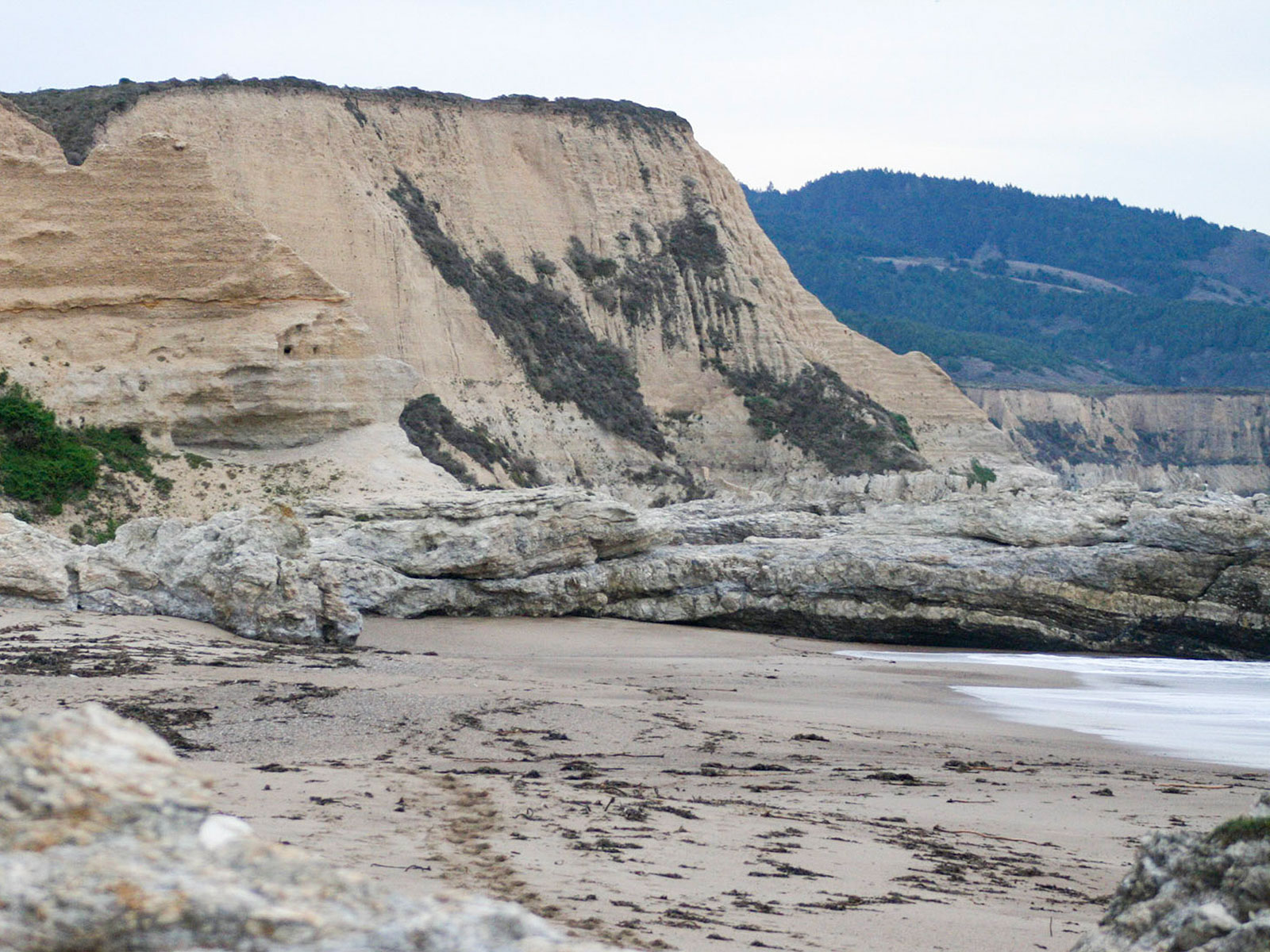
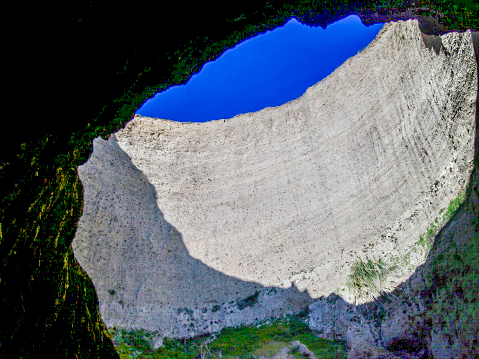
Skylight Cave is a sea cave with a collapsed ceiling at the north end of Secret Beach, which is located within the Phillip Burton Wilderness along the eastern shore of Drakes Bay.
Meander along a creek through Douglas fir forest to arrive at a beautiful stretch of coastline deep within the Phillip Burton Wilderness. This trail begins at the Bear Valley Trailhead, at the south end of the Bear Valley Parking Lot.
Wildcat Beach is a 2.9-mile-long (4.7-kilometer-long) beach deep within the Phillip Burton Wilderness in the southern part of Point Reyes National Seashore. Many routes may be followed that lead Wildcat Beach.
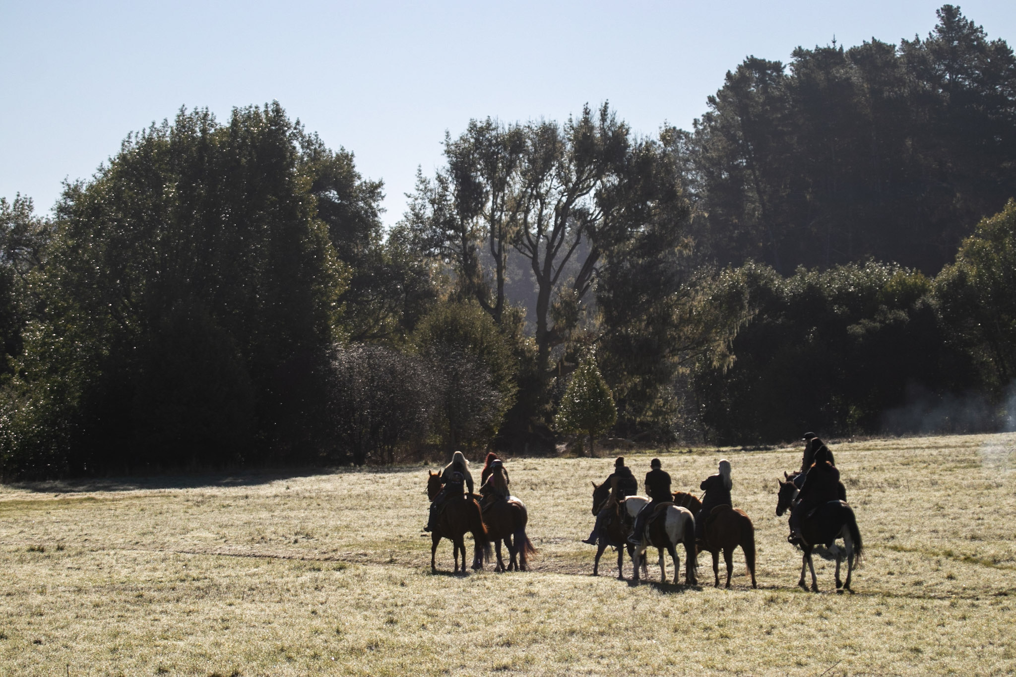
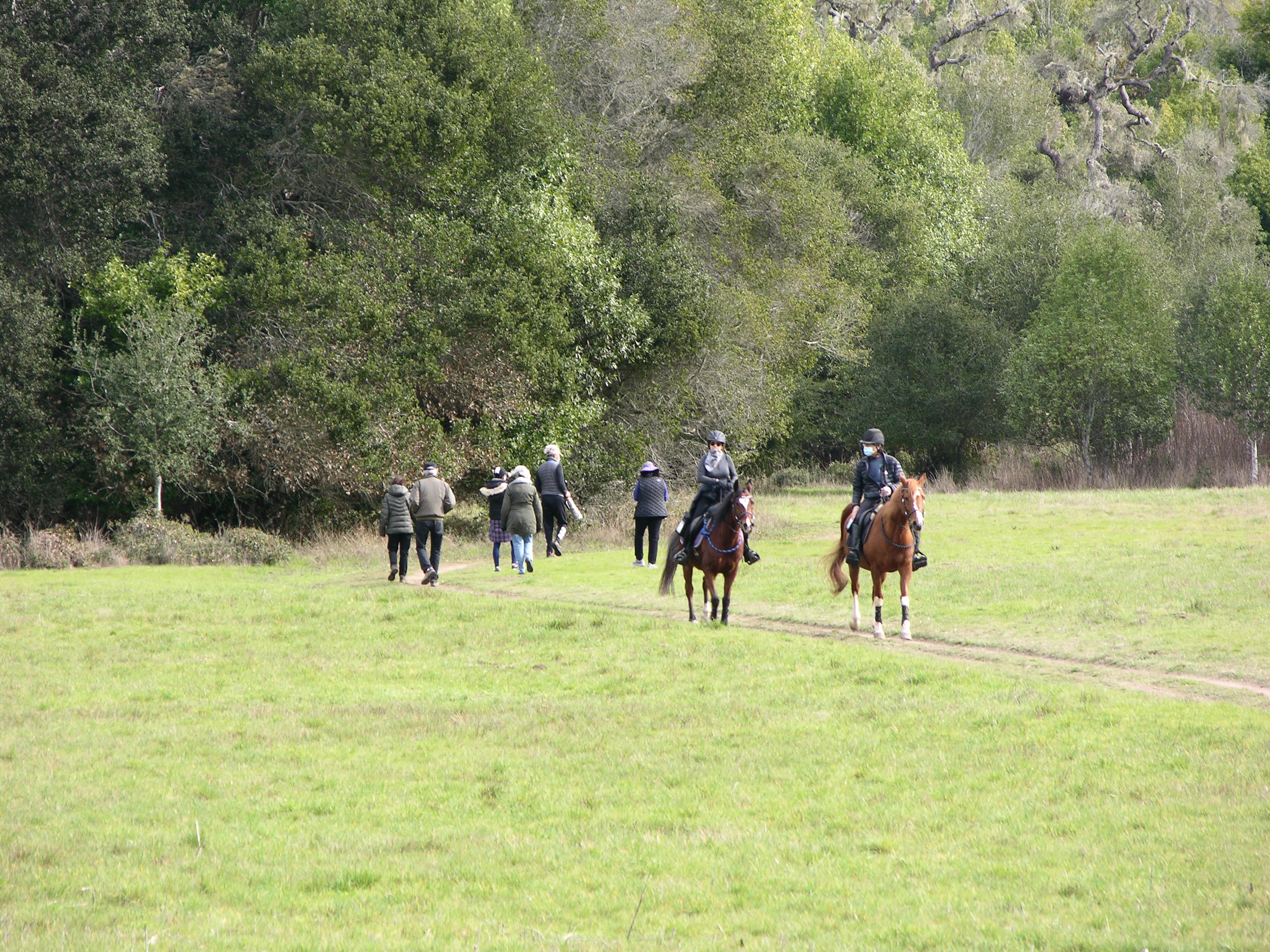
Ride your horse along the northern floor of a valley that follows the San Andreas Fault, passing through meadows and woods between Bear Valley and Five Brooks. This ride can begin at either the Bear Valley Trailhead or the Five Brooks Trailhead.
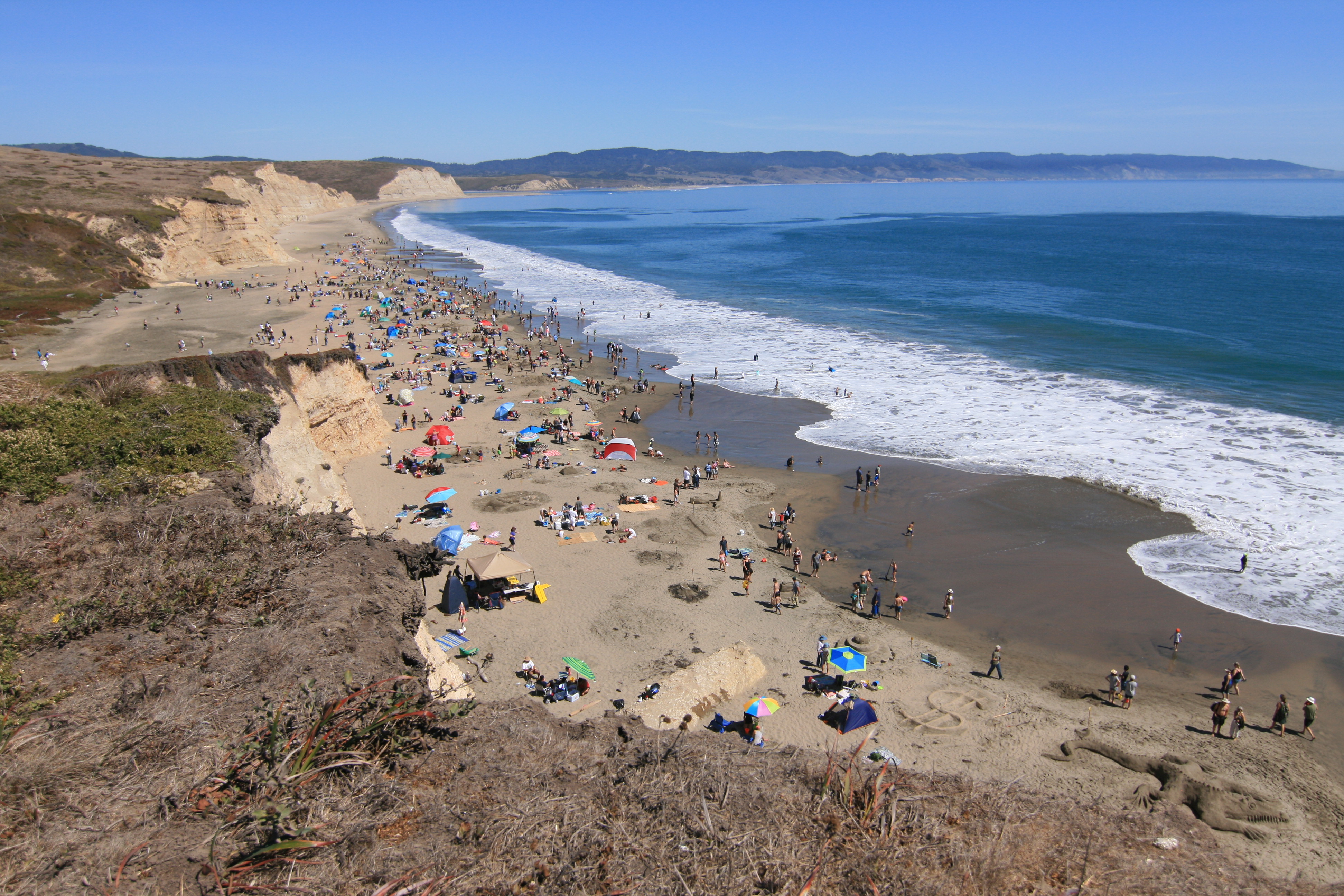
What comes to mind when you think about the beach? Surf, sand, and swimming are a few words associated with a day at the beach. However, swimming is not recommended at most of the beaches in Point Reyes! Learn where to and where NOT to swim at Point Reyes.
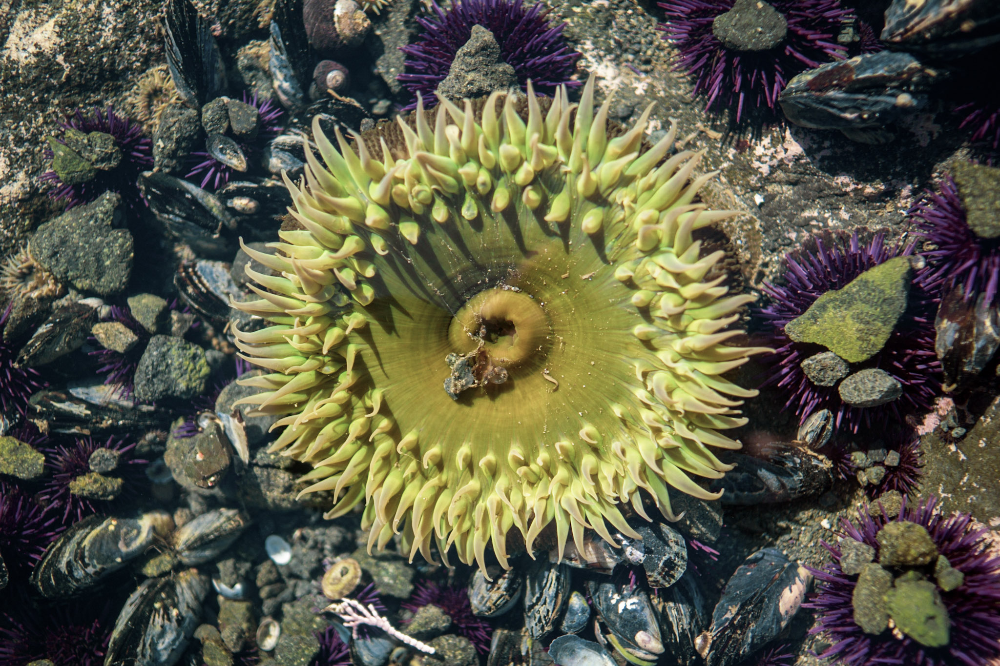
Only when waters recede at a low tide does the intertidal zone reveal its majesty to the careful explorer. This is a realm inhabited by magnificent creatures that look as if they came from another time and world.
The up-to-10.6-miles- roundtrip Cross Marin Trail is a relatively flat, easy trail that follows the historic North Pacific Coast Railroad right-of-way paralleling Lagunitas Creek.
Discover the geology of the San Andreas Fault on this paved loop nature trail. A fence that was constructed half way around the trail illustrates the 16 feet (3 meters) of displacement that occurred during the infamous 1906 earthquake.
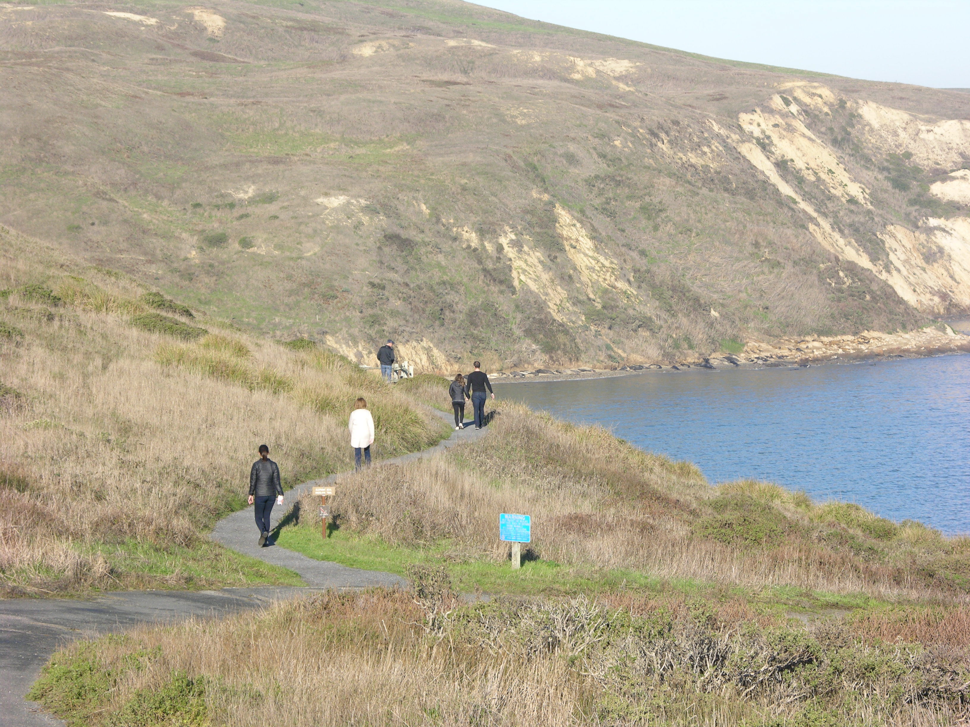
Follow the short Elephant Seal Overlook Trail to a viewpoint from which elephant seals are usually visible. Allow 45 minutes driving time from Bear Valley to the Chimney Rock Parking Lot.
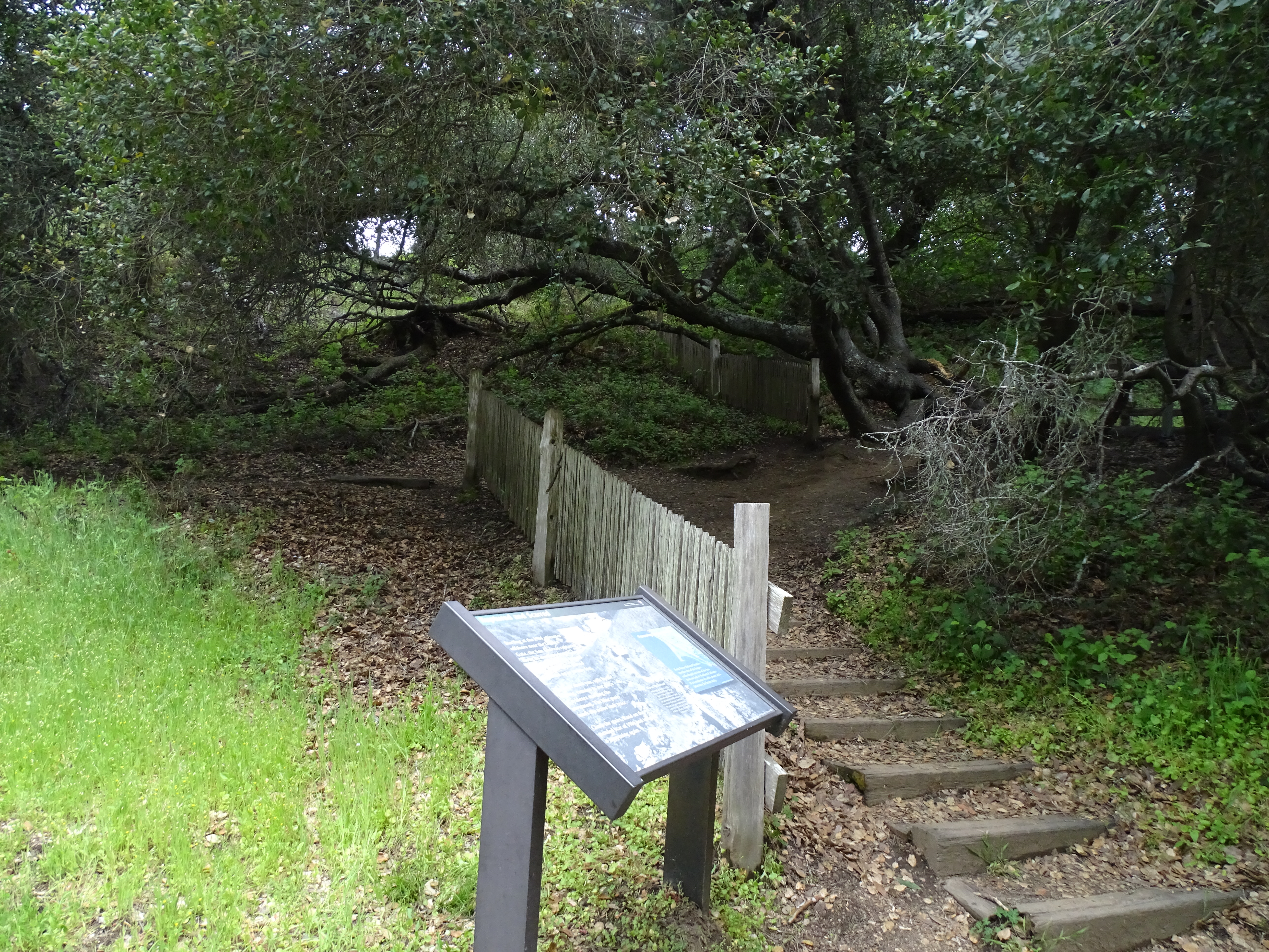
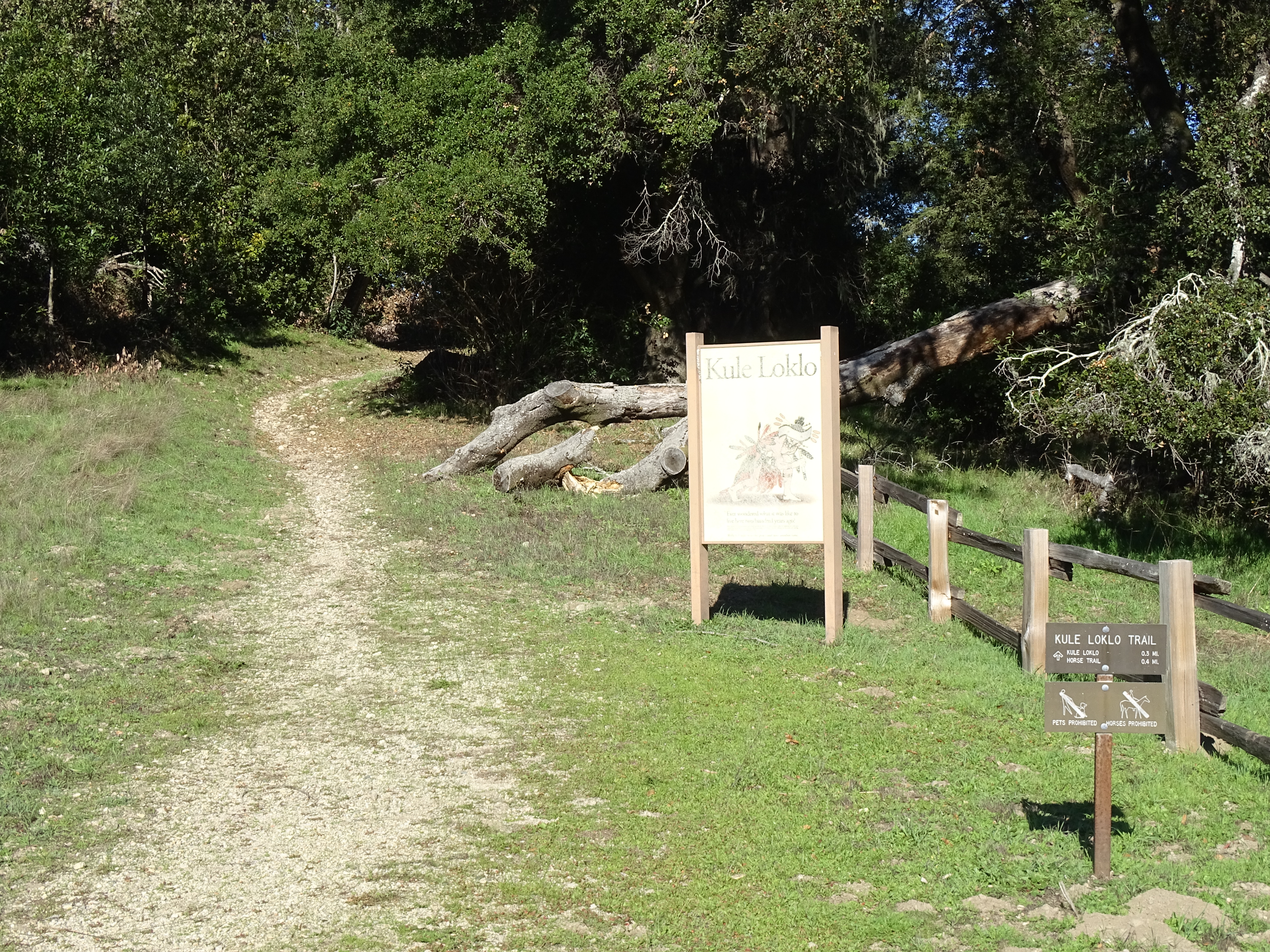
A short path leads up to a replica of a Coast Miwok Indian village. Interpretive signs briefly describe Coast Miwok culture and history and the structures in the village. This trail begins at the north end of the Bear Valley parking lot.
National Park Service Data API — things to do, snapshot of Oct 28, 2026. Descriptions are short excerpts; photos are NPS photos shown from nps.gov with their credit.