Gulf Islands National Seashore is a National Seashore in Florida, Mississippi. The NPS currently lists 5 active alerts (1 closure), 5 campgrounds and 3 visitor centers; entrance fees start at $15.
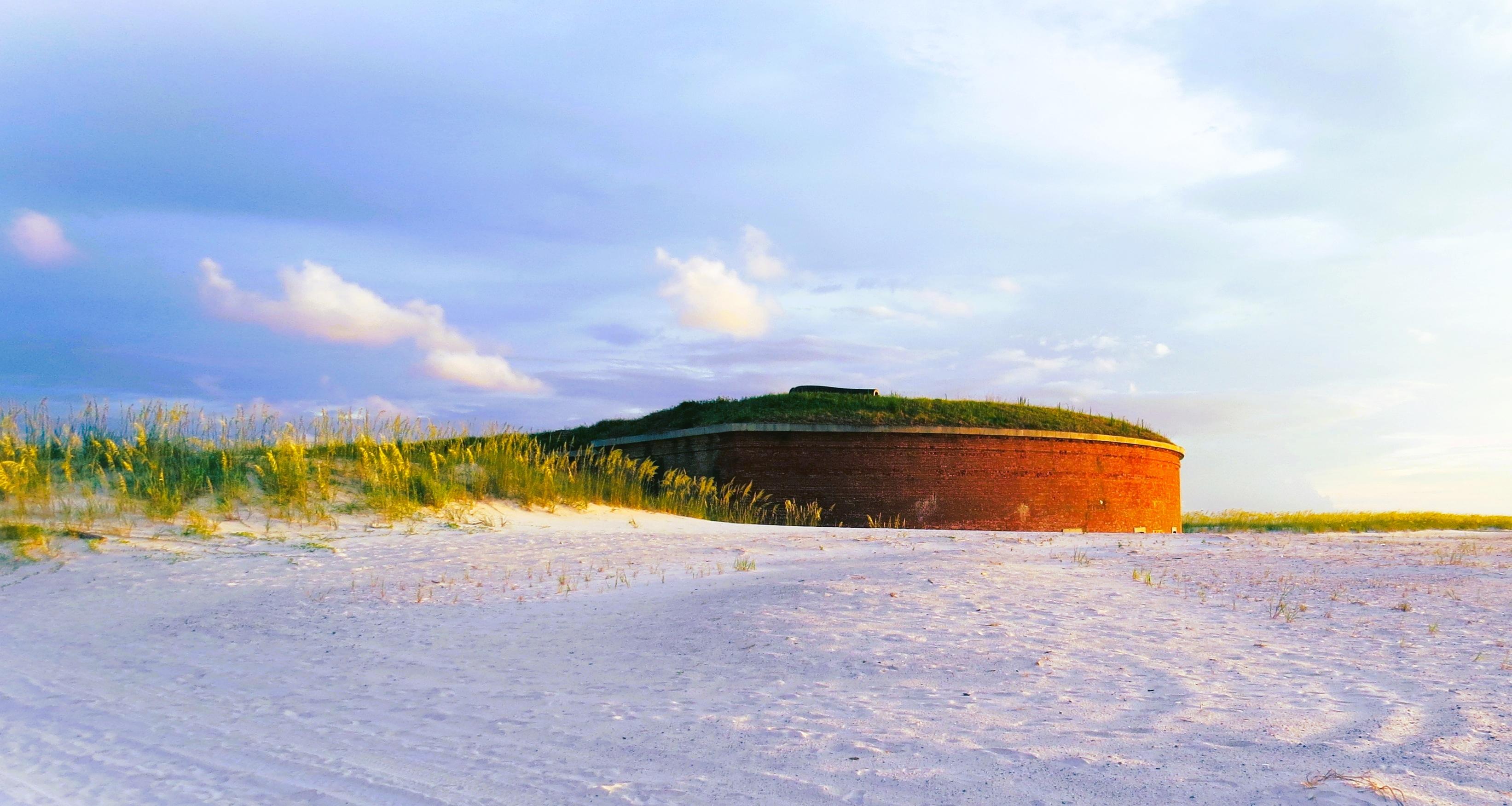
Fort Massachusetts · Photo: NPS/Bernstiel (via nps.gov)
About the park
“Millions of visitors are drawn to the Gulf of America for Gulf Islands National Seashore's emerald coast waters, magnificent white beaches, fertile marshes and historical landscapes. Come explore with us today!”
Active alerts
5
Closures
1
Campgrounds
5
Visitor centers
3
Current alerts and closures
5 active NPS alerts as of Oct 28, 2026: 1 closure, 0 danger, 2 caution and 2 information.
Closure
Battery 234 Loop Road Closure
The Battery 234 Loop Road and Battery Cooper within the GUIS, Fort Pickens Management Area will be closed to all for vehicle, bicyclists, and foot (pedestrian) traffic until further notice for safety purposes until the park can correct the leaning and structurally unstable historic Tower 234 that poses danger to visitors and staff. The beach access points for pedestrians from the Gulf (south) side will also be closed. The pipe gates at the entrance and exit points will be locked with accompanied signage.
Phase II of the Davis Bayou Bicycle and Pedestrian Path is in process. Visitors may encounter minor traffic delays and flaggers on Eagle Point and Park Road.
Fort Barrancas is open 9 am–4 pm Wednesday through Sunday. To access Fort Barrancas, visitors will need to enter the Naval Air station Pensacola through the west gate.
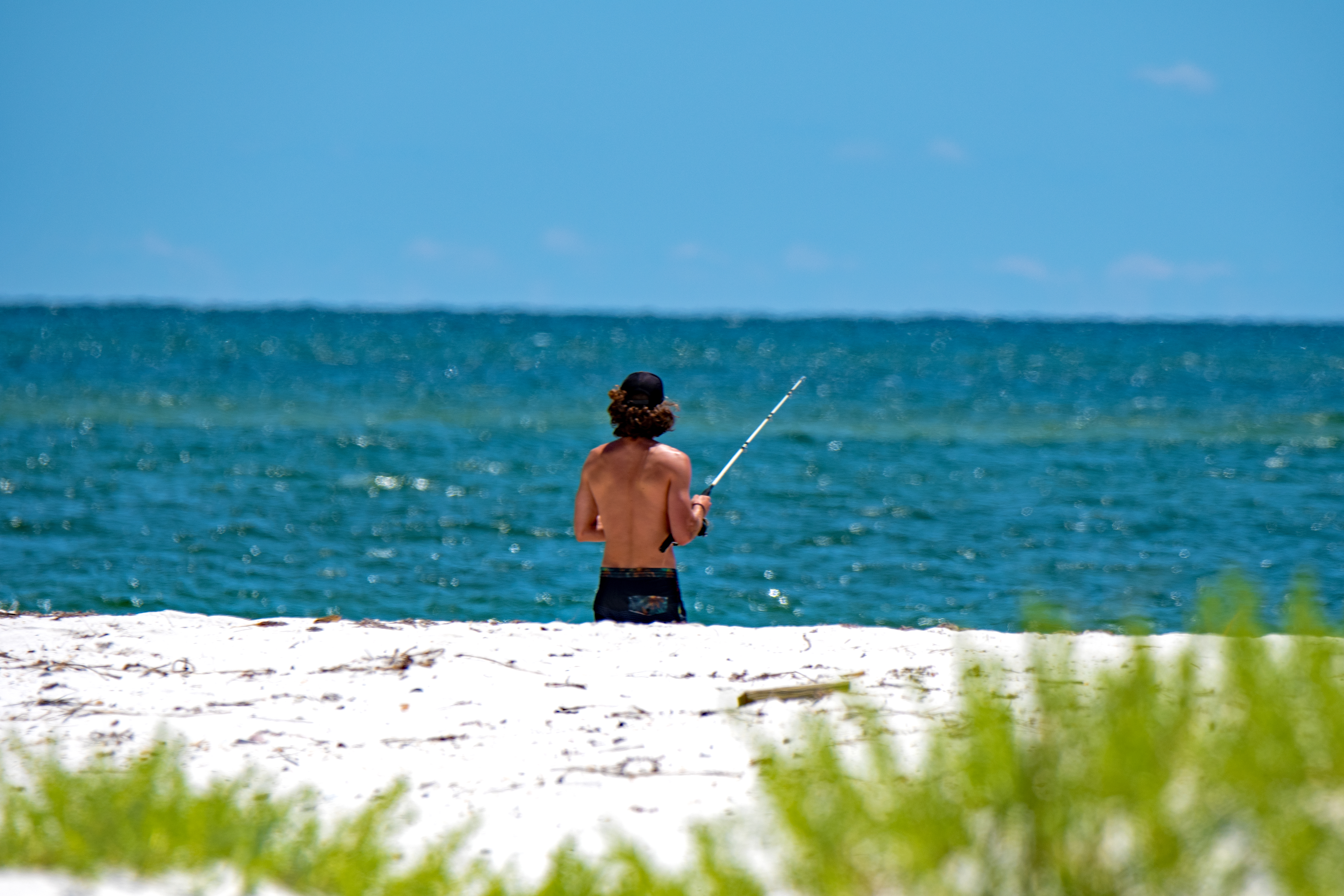
Fishing is a great way to enjoy the waters of Gulf Islands National Seashore. Anglers may enjoy casting from shore, a pier, or off a boat. Learn more about what's in season, size and take limits, and what to catch.
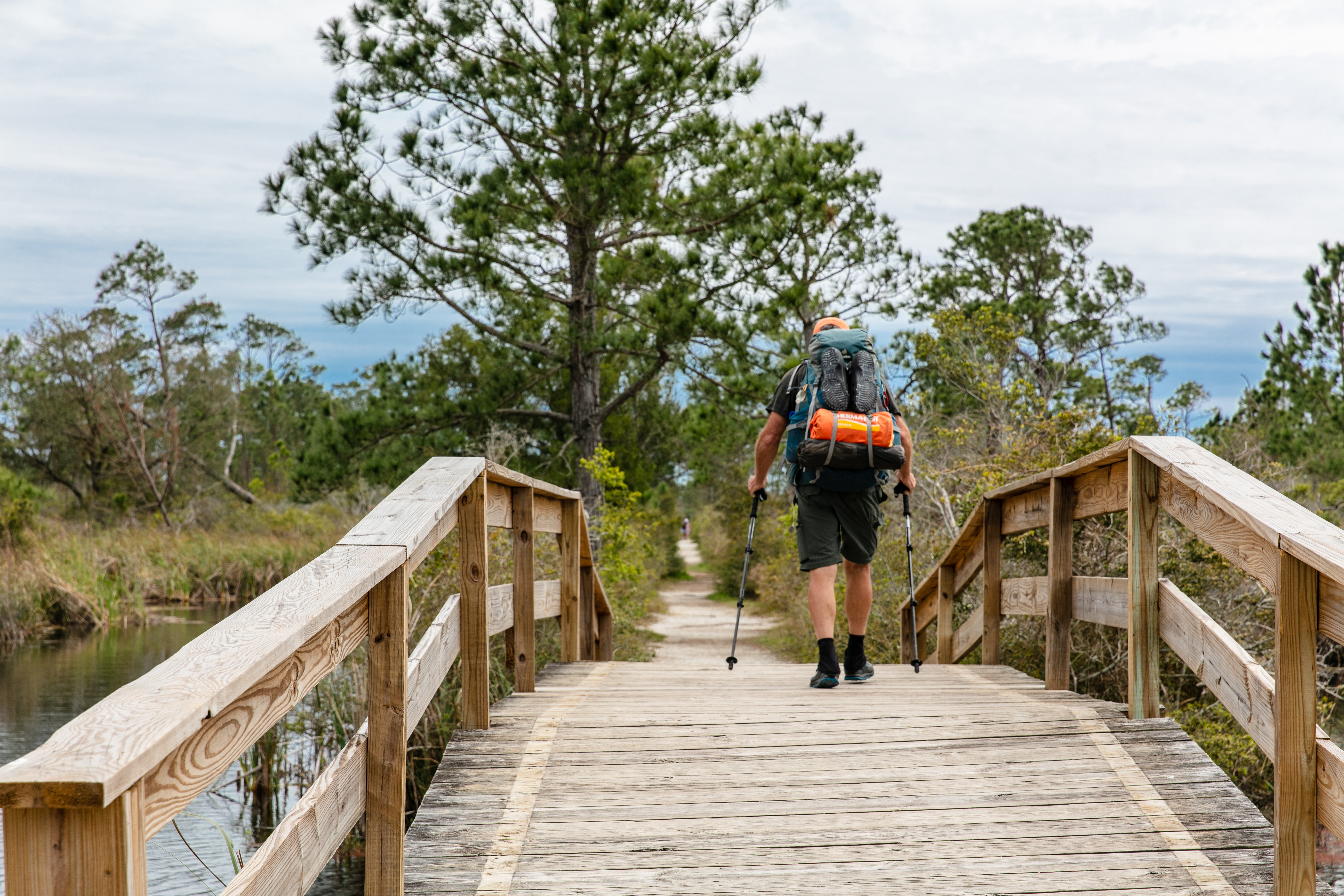
This 36-mile contiguous section of the Florida National Scenic Trail is the southernmost portion of trail. This moderately strenuous hike can be difficult to traverse at certain times of year.
BikingMountain BikingRoad BikingBoatingMotorized BoatingJet SkiingBoat TourCampingBackcountry CampingCanoe or Kayak CampingCar or Front Country CampingGroup CampingRV CampingFishingFreshwater FishingSaltwater FishingFoodPicnickingGuided ToursSelf-Guided Tours - WalkingSelf-Guided Tours - AutoHands-OnCitizen ScienceHikingFront-Country HikingHorse TrekkingHorseback RidingHunting and GatheringHuntingLiving HistoryPaddlingCanoeingKayakingSCUBA DivingSnorkelingSwimmingSaltwater SwimmingWildlife WatchingBirdwatchingMuseum ExhibitsShoppingBookstore and Park StoreGift Shop and Souvenirs
Advertisement
Operating hours
The Davis Bayou Area is located south of U. S. Hwy. 90 east of downtown Ocean Springs, Mississippi and offers many recreational opportunities.
Davis Bayou Area
Day
Hours
Monday
8:00AM - 6:00PM
Tuesday
8:00AM - 6:00PM
Wednesday
8:00AM - 6:00PM
Thursday
8:00AM - 6:00PM
Friday
8:00AM - 6:00PM
Saturday
8:00AM - 6:00PM
Sunday
8:00AM - 6:00PM
Weather: Weather along the northern coast of the Gulf of Mexico can change quickly. During the winter temperatures range from 30-60 degrees fahrenheit, rain is less common than other seasons.
Data: National Park Service (NPS) Data API, U.S. Department of the Interior (developer.nps.gov). This product uses the NPS Data API but is not endorsed or certified by the National Park Service. The National Park Service and the U.S. Department of the Interior do not endorse OpenParks. Photos are NPS images shown with their original credits; park descriptions are short excerpts credited to the NPS. Always confirm current conditions on nps.gov before you travel.